Cambridge in Dorchester County, Maryland — The American Northeast (Mid-Atlantic)
Long Wharf
The River
— Harriet Tubman Underground Railroad Byway —
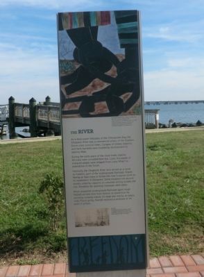
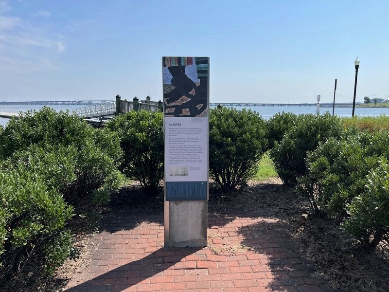
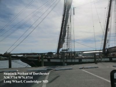
As a deep-water tributary of the Chesapeake Bay, the Choptank River was a commercial artery of the Eastern Shore since colonial times. Cargoes of timber, tobacco, and farm harvests were hoisted by dockworkers to waiting ships.
During the early years of the slave trade, captive Africans were unloaded here too. Later, thousands of enslaved people were shipped from Long Wharf to plantations in the South.
Ironically, the Choptank River also served as a route to freedom, part of the Underground Railroad. Slaves fleeing on foot knew to follow the river’s course north to headwaters in Delaware. Some escapees hid aboard vessels, aided by captains or crewman willing to take the risk. Penalties for assisting runaways were steep.
When suspected Underground Railroad agent Hugh Haziett arrived here from Denton to stand trial for assisting runaway slaves, his boat was met by an angry mob. Found guilty, Haziett received a sentence of 44 years in prison.
[Caption:]
Lawrence Jacob (1917-2000) Ars, NY-The life of Harriet Tubman #9-Casels tempera on hardboard 12” x 17 7/8” Hampton University Museum, Hampton VA-Image credit The Jacob and Gwendolyn Lawrence Foundation/Art Resource NY
Erected by America's Byways; Maryland Heritage Area Authority. (Marker Number 5.)
Topics and series. This historical marker is listed in these topic lists: Abolition & Underground RR • African Americans • Industry & Commerce • Waterways & Vessels. In addition, it is included in the Harriet Tubman Underground Railroad Byway series list.
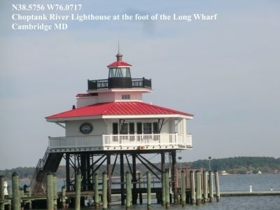
Location. 38° 34.536′ N, 76° 4.302′ W. Marker is in Cambridge, Maryland, in Dorchester County. Marker is on High Street at Choptank River. The marker is located at the Long Wharf. Touch for map. Marker is in this post office area: Cambridge MD 21613, United States of America. Touch for directions.
Other nearby markers. At least 8 other markers are within walking distance of this marker. To the memory of Franklin Delano Roosevelt (here, next to this marker); Distinguished Service Cross (within shouting distance of this marker); World War I Memorial (within shouting distance of this marker); The River (about 300 feet away, measured in a direct line); The Launch Boat (about 500 feet away); Privy Station (about 500 feet away); World War II (about 600 feet away); Cambridge House B&B (approx. 0.2 miles away). Touch for a list and map of all markers in Cambridge.
Additional keywords. human trafficking
Credits. This page was last revised on August 29, 2022. It was originally submitted on November 8, 2014, by Don Morfe of Baltimore, Maryland. This page has been viewed 586 times since then and 18 times this year. Photos: 1. submitted on November 8, 2014, by Don Morfe of Baltimore, Maryland. 2, 3. submitted on August 29, 2022, by Devry Becker Jones of Washington, District of Columbia. 4, 5. submitted on November 8, 2014, by Don Morfe of Baltimore, Maryland. • Bill Pfingsten was the editor who published this page.

![Long Wharf Marker [Reverse]. Click for full size. Long Wharf Marker [Reverse] image. Click for full size.](Photos6/675/Photo675405.jpg?829202282400PM)


