Fort Scott in Bourbon County, Kansas — The American Midwest (Upper Plains)
Fort Scott
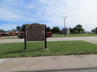
Inscription.
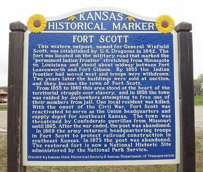
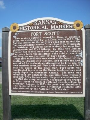
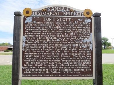
This western outpost, named for General Winfield Scott, was established by U.S. Dragoons in 1842. The fort was located on the military road that marked the "permanent Indian frontier" stretching from Minnesota to Louisiana and stood midway between Fort Leavenworth and Fort Gibson. By 1853 the Indian frontier had moved west and troops were withdrawn. Two years later the buildings were sold at auction, and they became the town of Fort Scott.
From 1855 to 1860 this area stood at the heart of the territorial struggle over slavery,and in 1858 the town was raided by Jayhawkers attempting to free one of their members from jail. One local resident was killed. With the onset of the Civil War, Fort Scott was reactivated to serve as the Union headquarters and supply depot for southeast Kansas. The town was threatened by Confederate guerrillas from Missouri until 1865. After the War ended, the post was abandoned.
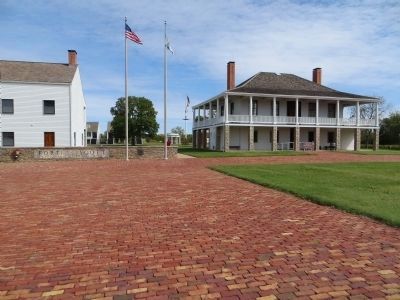
In 1869 the army returned, headquartering troops in Fort Scott to protect railroad construction in southeast Kansas. In 1873, the post was abandoned. The restored fort is now a National Historic Site administered by the National Park Service.
Erected by Kansas State Historical Society and Kansas Department of Transportation. (Marker Number 48.)
Topics and series. This historical marker is listed in these topic lists: Forts and Castles • Settlements & Settlers • War, US Civil • Wars, US Indian. In addition, it is included in the Fort Scott, Kansas, and the Kansas Historical Society series lists. A significant historical year for this entry is 1842.
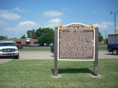
Location. 37° 50.601′ N, 94° 42.435′ W. Marker is in Fort Scott, Kansas, in Bourbon County. Marker is at the intersection of National Avenue and Stanton Street, on the right when traveling north on National Avenue. Touch for map. Marker is in this post office area: Fort Scott KS 66701, United States of America. Touch for directions.
Other nearby markers. At least 8 other markers are within walking distance of this marker. 20th Century Veterans' Memorial (within shouting distance of this marker); Historic Fort Scott (within shouting distance of this marker); Medal of Honor (about 300 feet away, measured in a direct line); Sutler Store (about 400 feet away); a different marker also named Fort Scott (about 400 feet away); Star Clothing House (about 400 feet away); Gordon Parks (about 400 feet away); The Sites and People of Fort Scott (about 500 feet away). Touch for a list and map of all markers in Fort Scott.
Also see . . .
1. Bleeding Kansas. This National Park Service link describes the history and effects of Bleeding Kansas on Fort Scott and its environs. (Submitted on June 27, 2009, by Thomas Onions of Olathe, Kansas.)
2. Fort Scott Area Chamber of Commerce. This is the official link for the Fort Scott Chamber of Commerce. (Submitted on June 27, 2009, by Thomas Onions of Olathe, Kansas.)
Additional keywords. Bleeding Kansas
Credits. This page was last revised on June 16, 2016. It was originally submitted on June 27, 2009, by Thomas Onions of Olathe, Kansas. This page has been viewed 1,877 times since then and 36 times this year. Last updated on November 10, 2014, by Bill Kirchner of Tucson, Arizona. Photos: 1. submitted on March 25, 2016, by William Fischer, Jr. of Scranton, Pennsylvania. 2, 3. submitted on June 27, 2009, by Thomas Onions of Olathe, Kansas. 4, 5, 6. submitted on November 10, 2014, by Bill Kirchner of Tucson, Arizona. • Syd Whittle was the editor who published this page.
