Near Six Mile in Pickens County, South Carolina — The American South (South Atlantic)
Fort Prince George
(side 1)
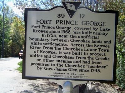
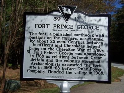
Fort Prince George, covered by Lake Keowee since 1968, was built nearby in 1753, near the unofficial boundary between Cherokee lands and white settlements. Across the Keowee River from the Cherokee Lower Town of Keowee, it was built to protect whites and Cherokees from the Creeks or other enemies and had been promised to the Cherokee "headmen" by Gov. James Glen since 1748.
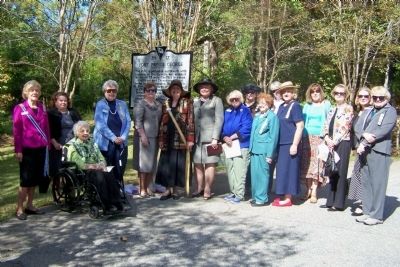
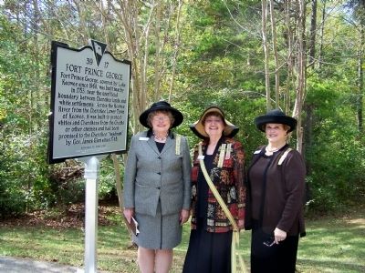
Erected 2014 by Piedmont Chapter, South Carolina Society, Daughters of the American Colonists. (Marker Number 39-17.)
Topics and series. This historical marker is listed in these topic lists: Colonial Era • Forts and Castles • Native Americans • Settlements & Settlers. In addition, it is included in the Daughters of the American Colonists series list. A significant historical year for this entry is 1968.
Location. 34° 51.433′ N, 82° 52.913′ W. Marker is near Six Mile, South Carolina, in Pickens County. Marker is on Keowee Baptist Church Road, half a mile south of Talton Road, on the right when traveling south. Located at the entrance to Mile Creek Park. Touch for map. Marker is at or near this postal address: 757 Keowee Baptist Church Road, Six Mile SC 29682, United States of America. Touch for directions.
Other nearby markers. At least 8 other markers are within 6 miles of this marker, measured as the crow flies. Keowee Town (approx. 2.2 miles away); Wm. Jennings Bryan Dorn Bridge (approx. 4˝ miles away); Henry Craig (approx. 4˝ miles away); Old Pickens Church (approx. 4.6 miles away); Old Pickens Presbyterian Church (approx. 4.6 miles away); Andrew Pickens (approx. 4.6 miles away); a different marker also named Old Pickens Presbyterian Church (approx. 4.6 miles away); Six Mile Veterans Monument (approx. 5.1 miles away).
Credits. This page was last revised on June 16, 2016. It was originally submitted on November 18, 2014, by Dianne Culbertson of Gray Court, South Carolina. This page has been viewed 1,617 times since then and 170 times this year. Photos: 1, 2, 3, 4. submitted on November 18, 2014, by Dianne Culbertson of Gray Court, South Carolina. • Bernard Fisher was the editor who published this page.


