Stafford in Stafford County, Virginia — The American South (Mid-Atlantic)
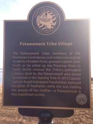
Patawomeck Tribe Village
Erected 2014 by Stafford County.
Topics. This historical marker is listed in these topic lists: Colonial Era • Exploration • Native Americans • Settlements & Settlers • Women. A significant historical year for this entry is 1608.
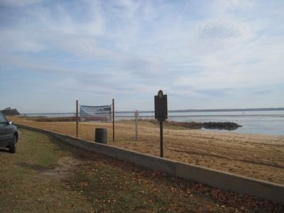
Location. 38° 23.172′ N, 77° 18.998′ W. Marker is in Stafford, Virginia, in Stafford County. Marker is on Brooke Road (County Route 608). Touch for map. Marker is in this post office area: Stafford VA 22554, United States of America. Touch for directions.
Other nearby markers. At least 8 other markers are within walking distance of this marker. Steamships, Stages and Slave Trade (approx. ¼ mile away); Early Escape Route (approx. ¼ mile away); Gateway to Freedom (approx. ¼ mile away); Aquia Landing (approx. ¼ mile away); a different marker also named Aquia Landing (approx. ¼ mile away); a different marker also named Aquia Landing (approx. ¼ mile away); History of the Patawomeck Indians (approx. 0.3 miles away); a different marker also named Aquia Landing (approx. 0.3 miles away). Touch for a list and map of all markers in Stafford.
Credits. This page was last revised on June 22, 2022. It was originally submitted on November 21, 2014, by Kevin W. of Stafford, Virginia. This page has been viewed 753 times since then and 51 times this year. Photos: 1, 2. submitted on November 21, 2014, by Kevin W. of Stafford, Virginia.

