Choptank in Caroline County, Maryland — The American Northeast (Mid-Atlantic)
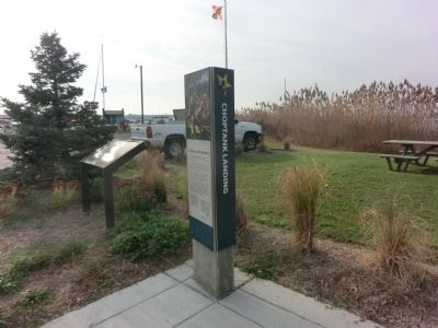
Choptank Landing
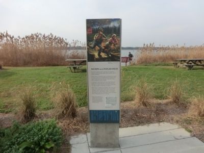
Escape from Poplar Neck
— Harriet Tubman Underground Railroad Byway —
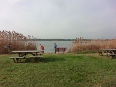
While the Choptank River could pose a troublesome barrier to those without a boat, others used the river as a path to freedom.
Josiah Bailey, an enslaved logger and shipbuilder, rowed six miles up the river. His destination was Poplar Neck, where he alerted Harriet Tubman’s father, Ben Ross, that he wanted her help to escape.
In November 1856, Harriet arrived to lead Bailey, his brother Bill, and friends Peter Pennington and Eliza Manokey to Canada. Hotly pursued, Bailey made good his escape despite a reward for his capture.
With Tubman’s guidance, her brothers, Ben, Henry, and Robert, also escaped from Poplar Neck. Using coded messages, Harriet notified her brothers of her plan to rescue them from their parent’s cabin. On Christmas Day 1854, she met them and several friends and guided them to Philadelphia and on to Canada.
[Caption:]
Right: Tupin Wright, William Hugiett and John C. Henry posted a $2,000 reward for the capture of the three men. Advertisements like this one provide scholars with considerable information about the appearance and clothing of those who freed themselves.
Erected by America's Byways; Maryland Heritage Area Authority. (Marker Number 25.)
Topics and series. This historical marker is listed in these topic lists: Abolition & Underground RR • African Americans • Waterways & Vessels • Women. In addition, it is included in the Harriet Tubman Underground Railroad Byway series list. A significant historical month for this entry is November 1856.
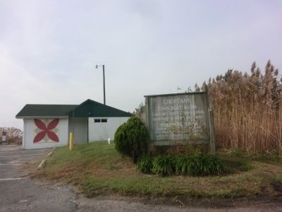
Location. 38° 40.89′ N, 75° 57.072′ W. Marker is in Choptank, Maryland, in Caroline County. Marker is on Water Street. The marker is located in the Choptank Town Boat Basin. Touch for map. Marker is at or near this postal address: 21843 Water St, Preston MD 21655, United States of America. Touch for directions.
Other nearby markers. At least 8 other markers are within 4 miles of this marker, measured as the crow flies. Escape from Poplar Neck (here, next to this marker); The Maryland Lot (within shouting distance of this marker); Choptank (about 400 feet away, measured in a direct line); Mt. Pleasant Cemetery (approx. 3 miles away); Mt. Pleasant M. E. Church (approx. 3 miles away); Freedom (approx. 3.1 miles away); Preston (approx. 3.1 miles away); Site of Frazier’s Chapel (approx. 3.2 miles away).
Credits. This page was last revised on September 5, 2022. It was originally submitted on November 26, 2014, by Don Morfe of Baltimore, Maryland. This page has been viewed 725 times since then and 44 times this year. Photos: 1. submitted on November 26, 2014, by Don Morfe of Baltimore, Maryland. 2. submitted on September 5, 2022, by Devry Becker Jones of Washington, District of Columbia. 3, 4, 5. submitted on November 26, 2014, by Don Morfe of Baltimore, Maryland. • Bill Pfingsten was the editor who published this page.

![Choptank Landing Marker [Reverse]. Click for full size. Choptank Landing Marker [Reverse] image. Click for full size.](Photos6/676/Photo676656.jpg?952022123700PM)


