
Capitol Hill in Tallahassee in Leon County, Florida — The American South (South Atlantic)
Old City Cemetery
Photographed by Mark Hilton, December 6, 2014
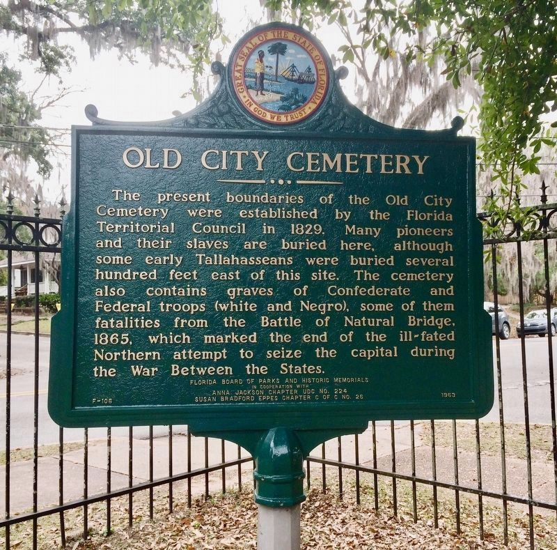
1. Old City Cemetery Marker
Erected 1963 by the Florida Board of Parks and Historical Memorials in Cooperation With Anna Jackson Chapter UDC No. 224 Susan Bradford Eppes Chapter C of C No. 26. (Marker Number F-106.)
Topics and series. This historical marker is listed in these topic lists: African Americans • Cemeteries & Burial Sites • Settlements & Settlers • War, US Civil. In addition, it is included in the United Daughters of the Confederacy series list. A significant historical year for this entry is 1829.
Location. 30° 26.517′ N, 84° 17.145′ W. Marker is in Tallahassee, Florida, in Leon County. It is in Capitol Hill. It is at the
this page online

Regionally, this marker is in North Florida. It is also in the American South and specifically in the Deep South. Globally, it is in the North Atlantic Region, North America, a Gulf of Mexico state, the Western Hemisphere, the Western World, and the Anglosphere. Historically, it finds itself in what was once New Spain, the territory of the Mississippian Culture, one of the Confederate States of America, and the Antebellum South.
Other nearby markers. At least 8 other markers are within walking distance of this marker: Major General David Lang (about 400 feet away, measured in a direct line); Antonio Proctor, George Proctor, John Proctor (about 500 feet away); Prince and Princess Murat (about 700 feet away); Father James Page (approx. 0.2 miles away); Trinity United Methodist Church (approx. 0.2 miles away);
Photographed by Mark Hilton, December 6, 2014
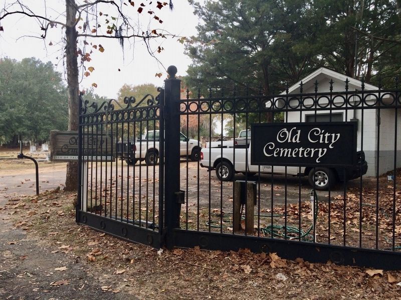
2. Old City Cemetery
Photographed by Mark Hilton, December 6, 2014
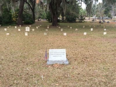
3. Graves of Unknown Confederate troops from the Civil War
"In this section lie an unknown number of Confederate dead; known but to God."
Credits. This page was last revised on January 4, 2024. It was originally submitted on December 10, 2014, by Mark Hilton of Montgomery, Alabama. This page has been viewed 1,055 times since then and 53 times this year. Photos: 1, 2. submitted on January 4, 2024, by Mark Hilton of Montgomery, Alabama. 3. submitted on December 10, 2014, by Mark Hilton of Montgomery, Alabama.
