Havre de Grace in Harford County, Maryland — The American Northeast (Mid-Atlantic)
Susquehanna River Crossing
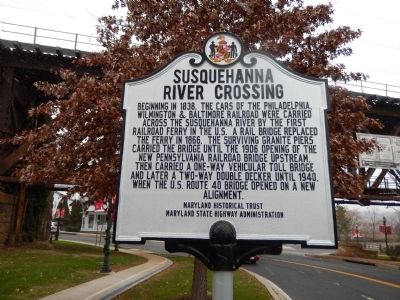
Photographed by Bill Pfingsten, December 11, 2014
1. Susquehanna River Crossing Marker
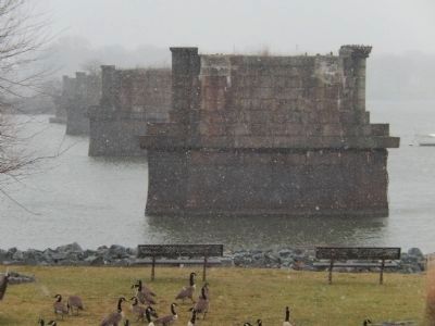
Beginning in 1838, the cars of the Philadelphia, Wilmington & Baltimore Railroad were carried across the Susquehanna River by the first railroad ferry in the U.S. A rail bridge replaced the ferry in 1866. The surviving granite piers carried the bridge until the 1906 opening of the new Pennsylvania Railroad bridge upstream, then carried a one-way vehicular toll bridge and later a two-way double decker until 1940, when the U.S. Route 40 bridge opened on a new alignment.
Erected by Maryland Historic Trust, Maryland State Highway Administration.
Topics. This historical marker is listed in these topic lists: Railroads & Streetcars • Roads & Vehicles • Waterways & Vessels. A significant historical year for this entry is 1838.
Location. 39° 33.133′ N, 76° 5.51′ W. Marker is in Havre de Grace, Maryland, in Harford County. It is on Nrth Union Avenue. The marker is near the Amtrak (Pennsylvania RR) bridge across from The David Craig Park. Touch for map. Marker is in this post office area: Havre de Grace MD 21078, United States of America. Touch for directions.

Regionally, this marker is in the Baltimore Metro Region
this page online
Other nearby markers. At least 8 other markers are within walking distance of this marker: Susquehanna Lower Ferry (within shouting distance of this marker); Major General Marquis De LaFayette (within shouting distance of this marker); American Legion Post No. 47 (within shouting distance of this marker); Lafayette's Tour (within shouting distance of this marker); Matilda O'Neill Home (about 300 feet away, measured in a direct line); Under Attack (about 300 feet away); Harford County -- Related U.S.C.T. Civil War Soldiers (about 300 feet away); Sergeant Alfred B. Hilton Memorial (about 300 feet away). Touch for a list and map of all markers in Havre de Grace.
Another marker is no longer nearby. Susquehanna Lower Ferry (was within shouting distance of this
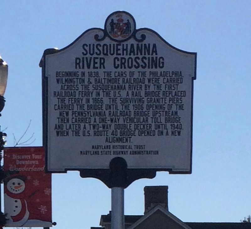
Photographed by Adam Margolis, January 1, 2018
2. Susquehanna River Crossing Marker
Marker has been moved 100 feet to the nearby 7/11 street entrance.
Regarding Susquehanna River Crossing. The PW&B bridge was partially destroyed by a tornado in 1866 and had to be rebuilt. The double decker bridge remained standing until 1943 when it was dismantled and the metal was used in the war effort.
Additional commentary.
1.
Information was received in early December 2024 that the bridge piers seen in photo 5 had been removed as part of the work for new Amtrak bridge.
— Submitted December 10, 2024, by Carl Gordon Moore Jr. of North East, Maryland.
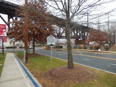
Photographed by Bill Pfingsten, December 11, 2014
3. Susquehanna River Crossing Marker
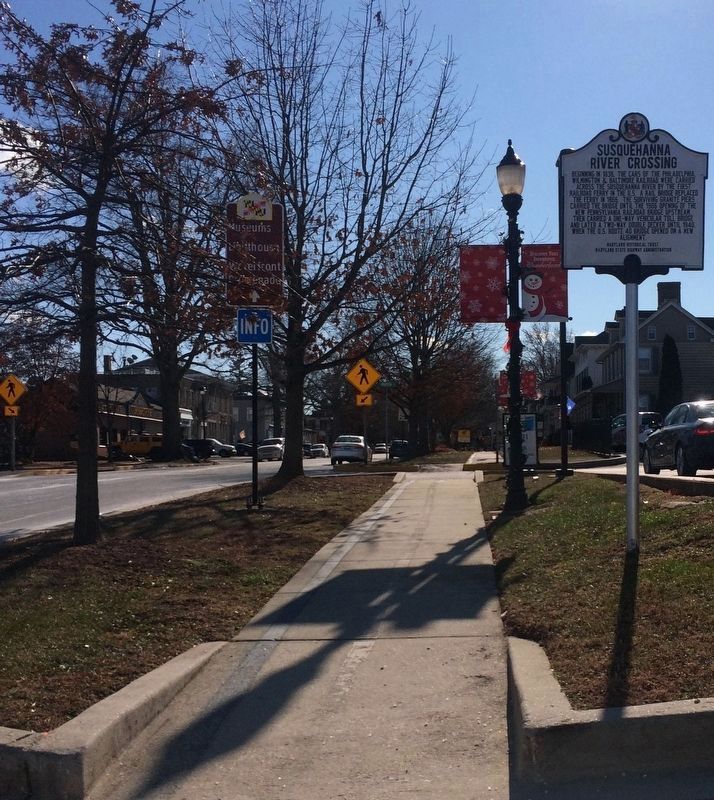
Photographed by Adam Margolis, January 1, 2018
4. Susquehanna River Crossing Marker
Marker has been moved 100 feet to the nearby 7/11 street entrance.
Photographed by Bill Pfingsten, December 11, 2014
5. Piers of the PW&B bridge.
These piers were removed in 2024 to make way for the construction of a new Amtrak bridge.
Photographed by Bill Pfingsten, December 11, 2014
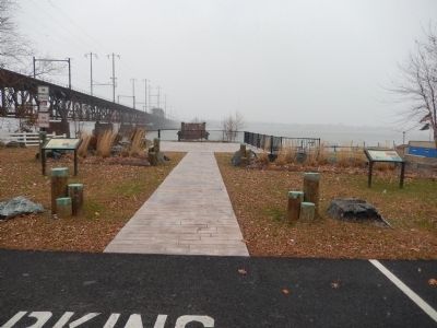
6. Susquehanna River Crossing Marker
Credits. This page was last revised on February 2, 2025. It was originally submitted on December 11, 2014, by Bill Pfingsten of Bel Air, Maryland. This page has been viewed 1,159 times since then and 87 times this year. Last updated on December 10, 2024, by Carl Gordon Moore Jr. of North East, Maryland. Photos: 1. submitted on December 11, 2014, by Bill Pfingsten of Bel Air, Maryland. 2. submitted on January 1, 2018, by Adam Margolis of Mission Viejo, California. 3. submitted on December 11, 2014, by Bill Pfingsten of Bel Air, Maryland. 4. submitted on January 1, 2018, by Adam Margolis of Mission Viejo, California. 5, 6. submitted on December 11, 2014, by Bill Pfingsten of Bel Air, Maryland. • J. Makali Bruton was the editor who published this page.
