Edenton in Chowan County, North Carolina — The American South (South Atlantic)
First Post Road
Inscription.
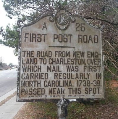
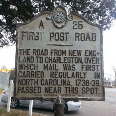
The road from New England to Charleston, over which mail was first carried regularly in North Carolina, 1738-39, passed near this spot.
Erected 1942 by Department of Conservation and Development and the State Historical Commission. (Marker Number A-25.)
Topics and series. This historical marker is listed in these topic lists: Colonial Era • Communications • Roads & Vehicles. In addition, it is included in the North Carolina Division of Archives and History, and the Postal Mail and Philately series lists. A significant historical year for this entry is 1738.
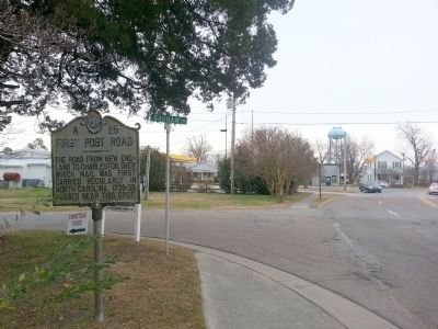
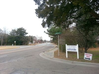
Location. 36° 4.201′ N, 76° 36.344′ W. Marker is in Edenton, North Carolina, in Chowan County. Marker is at the intersection of Virginia Road (State Highway 32) and Badham Road, on the left when traveling south on Virginia Road. Touch for map. Marker is in this post office area: Edenton NC 27932, United States of America. Touch for directions.
Other nearby markers. At least 8 other markers are within walking distance of this marker. Dr. Martin Luther King, Jr. in Edenton, 1962 (about 700 feet away, measured in a direct line); North Carolina National Guard Armory (about 800 feet away); Rosenwald Schools (approx. 0.3 miles away); 1897 Kadesh A.M.E. Zion Church (approx. 0.6 miles away); Harriet Jacobs (approx. 0.6 miles away); Edenton United Methodist Church (approx. 0.6 miles away); St. Paul's Episcopal Church (approx. 0.6 miles away); a different marker also named St. Paul's Episcopal Church (approx. 0.6 miles away). Touch for a list and map of all markers in Edenton.
Related markers. Click here for a list of markers that are related to this marker.
Credits. This page was last revised on June 24, 2021. It was originally submitted on December 20, 2014, by Bernard Fisher of Richmond, Virginia. This page has been viewed 391 times since then and 18 times this year. Photos: 1, 2, 3, 4. submitted on December 20, 2014, by Bernard Fisher of Richmond, Virginia.


