Manteo in Dare County, North Carolina — The American South (South Atlantic)
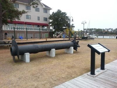
Manteo Weather Tower
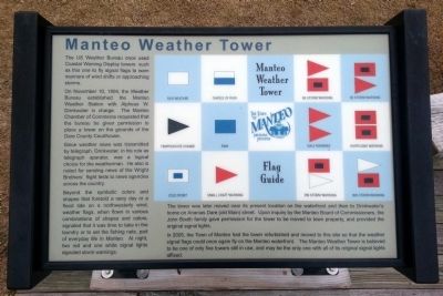
On November 10, 1904, the Weather Bureau established the Manteo Weather Station with Alpheus W. Drinkwater in charge. The Manteo Chamber of Commerce requested that the bureau be given permission to place a tower on the grounds of the Dare County Courthouse.
Since weather news was transmitted by telegraph, Drinkwater, in his role as telegraph operator, was a logical choice for the weatherman. He also is noted for sending news of the Wright Brothers’ flight tests to news agencies across the country.
Beyond the symbolic colors and shapes that foretold a rainy day or a flood tide on a northwesterly wind, weather flags, when flown in various combinations of shapes and colors, signaled that it was time to take in the laundry or to set the fishing nets, part of everyday life in Manteo. At night, two red and one white signal lights signaled storm warnings.
The tower was later moved near its present location on the waterfront and then to Drinkwater’s home on Ananias Dare (old Main) street. Upon inquiry by the Manteo Board of Commissioners, the John Booth family gave permission for the tower to be moved to town property, and provided the original signal lights.
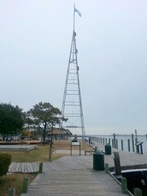
In 2005, the Town of Manteo had the tower refurbished and moved to this site so that the weather signal flags could once again fly on the Manteo waterfront. The Manteo Weather Tower is believed to be one of only five towers still in use, and may be the only one with all of its original signal lights affixed.
Topics. This historical marker is listed in these topic lists: Communications • Man-Made Features • Waterways & Vessels. A significant historical date for this entry is November 10, 1904.
Location. 35° 54.522′ N, 75° 40.136′ W. Marker is in Manteo, North Carolina, in Dare County. Marker can be reached from the intersection of Queen Elizabeth Avenue and Fernando Street, on the left when traveling south. Touch for map. Marker is in this post office area: Manteo NC 27954, United States of America. Touch for directions.
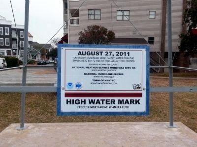
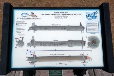
Other nearby markers. At least 8 other markers are within walking distance of this marker. August 27, 2011 (here, next to this marker); Roanoke Marshes Lighthouse (here, next to this marker); USLSS/USCG Station Pea Island Memorial (within shouting distance of this marker); Spirit of Roanoke Island (within shouting distance of this marker); Dare County Veterans Memorial (about 500 feet away, measured in a direct line); To Virginia Dare (about 500 feet away); The Roanoke Colonies (about 500 feet away); To Walter Raleigh's Colonists (about 600 feet away). Touch for a list and map of all markers in Manteo.
Credits. This page was last revised on June 16, 2016. It was originally submitted on December 20, 2014, by Bernard Fisher of Richmond, Virginia. This page has been viewed 669 times since then and 49 times this year. Photos: 1, 2, 3. submitted on December 20, 2014, by Bernard Fisher of Richmond, Virginia. 4, 5. submitted on December 21, 2014, by Bernard Fisher of Richmond, Virginia.
