Murrisk in County Mayo, Connacht, Ireland — Irish West ((Éire) North Atlantic Ocean)
Murrisk Fisherman's Monument
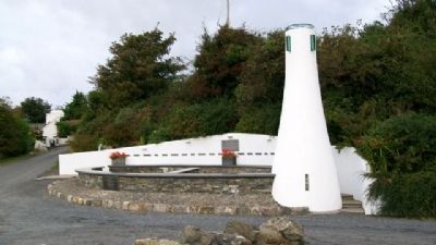
Photographed by William Fischer, Jr., September 24, 2009
1. Murrisk Fisherman's Monument
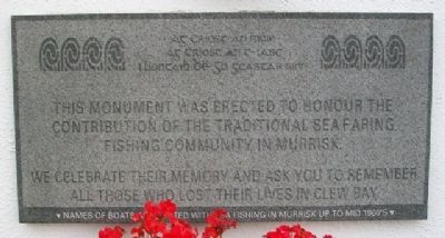
Ag Críost an t-iasc
I líontaih Dé go gcastar sinn
This monument was erected to honour the
contributions of the traditional seafaring
fishing community in Murrisk.
We celebrate their memory and ask you to remember
all those who lost their lives in Clew Bay
Names of boats associated with sea fishing in Murrisk up to mid 1960's
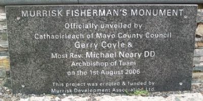
Officially unveiled by
Cathaoirleach of Mayo County Council
Gerry Coyle &
Most Rev. Michael Neary DD
Archbishop of Tuam
on the 1st August 2006
To Christ the sea, to Christ the fish
In nets of Christ may we be caught
Erected 2006 by Murrisk Development Association Ltd.
Topics and series. This historical marker and monument is listed in these topic lists: Disasters • Environment • Industry & Commerce • Waterways & Vessels. In addition, it is included in the Lost at Sea series list. A significant historical year for this entry is 2006.
Location. 53° 46.79′ N, 9° 37.474′ W. Marker is in Murrisk, Connacht, in County Mayo. It can be reached from The Carrigeens. Memorial is about 180 meters north of Road R335, immediately north
this page online

Regionally, it is on the Atlantic Ocean, in the North Atlantic Region, on the Atlantic Arc, in Europe, on the Island of Ireland, on the Celtic Fringe, in the European Union, in Atlantic Europe, on one of the British Isles, in the Western World, and in the Anglosphere.
Other nearby markers. At least 8 other markers are within 16 kilometers of this marker, measured as the crow flies: National Famine Memorial (approx. one kilometer away); Murrisk Abbey / National Famine Monument / Statue of St Patrick (approx. one kilometer away); Squadron Leader R. F. C. Garvey (approx. one kilometer away); Murrisk Friary / Mainistir Mhuraisce (approx. one kilometer away); Major John Mac Bride / Seán Mac Giolla Bríde (approx. 7.1 kilometers away); Lime Kiln, Moneen, (approx. 10.5 kilometers away); Famine Museum and Granuaile Centre, Louisburgh (approx. 12.3 kilometers away); Srahwee or Altóir Megalithic Wedge Tomb (approx. 15.6 kilometers away). Touch for a list and map of all markers in Murrisk.
Photographed by William Fischer, Jr., September 24, 2009
2. Murrisk Fisherman's Monument Marker
Photographed by William Fischer, Jr., September 24, 2009
3. Murrisk Fisherman's Monument Marker
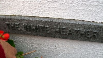
Photographed by William Fischer, Jr., September 24, 2009
4. The White Heather
Photographed by William Fischer, Jr., September 24, 2009
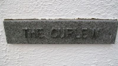
5. The Curlew
Photographed by William Fischer, Jr., September 24, 2009
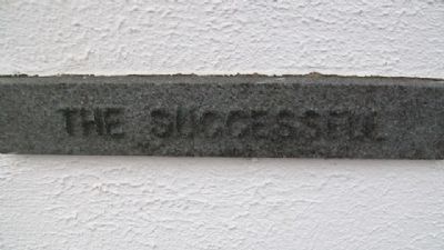
6. The Successell
Photographed by William Fischer, Jr., September 24, 2009
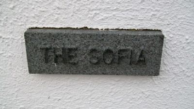
7. The Sofia
Photographed by William Fischer, Jr., September 24, 2009
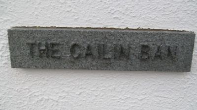
8. The Cailin Ban
Photographed by William Fischer, Jr., September 24, 2009
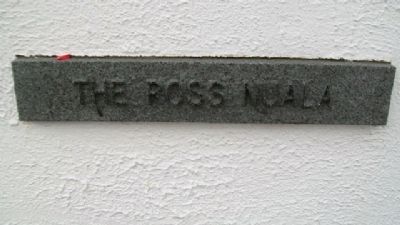
9. The Ross Nuala
Photographed by William Fischer, Jr., September 24, 2009
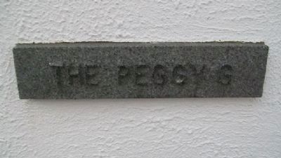
10. The Peggy G
Photographed by William Fischer, Jr., September 24, 2009
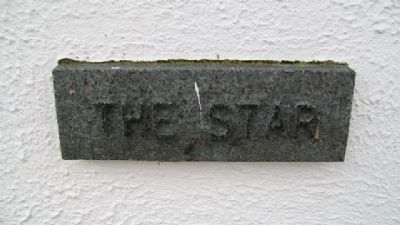
11. The Star
Photographed by William Fischer, Jr., September 24, 2009
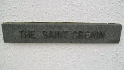
12. The Saint Cronin
Photographed by William Fischer, Jr., September 24, 2009
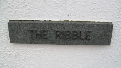
13. The Ribble
Photographed by William Fischer, Jr., September 24, 2009
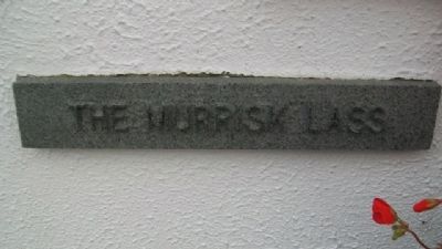
14. The Murrisk Lass
Photographed by William Fischer, Jr., September 24, 2009
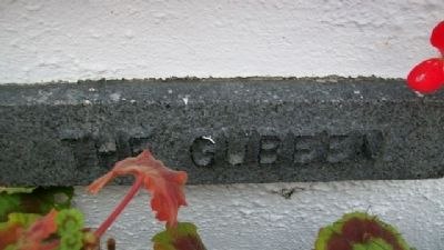
15. The Gubeen
Photographed by William Fischer, Jr., September 24, 2009
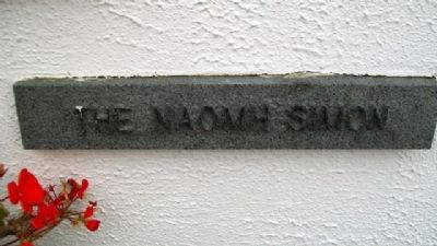
16. The Naomh Simon
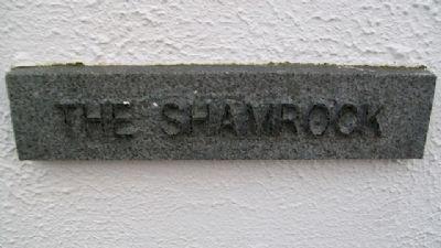
Photographed by William Fischer, Jr., September 24, 2009
17. The Shamrock
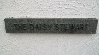
Photographed by William Fischer, Jr., September 24, 2009
18. The Daisy Stewart
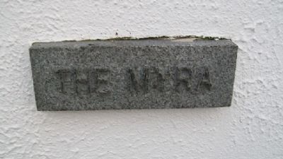
Photographed by William Fischer, Jr., September 24, 2009
19. The Myra
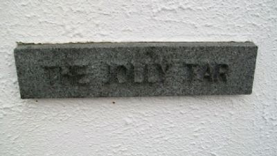
Photographed by William Fischer, Jr., September 24, 2009
20. The Jolly Tar
Photographed by William Fischer, Jr., September 24, 2009
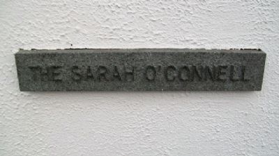
21. The Sarah O'Connell
Photographed by William Fischer, Jr., September 24, 2009
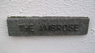
22. The Ambrose
Photographed by William Fischer, Jr., September 24, 2009
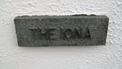
23. The Iona
Photographed by William Fischer, Jr., September 24, 2009
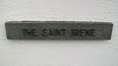
24. The Saint Irene
Photographed by William Fischer, Jr., September 24, 2009
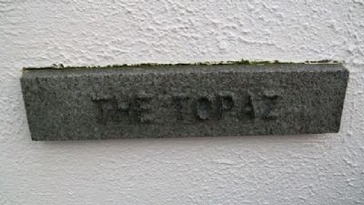
25. The Topaz
Photographed by William Fischer, Jr., September 24, 2009
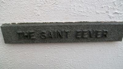
26. The Saint Eever
Photographed by William Fischer, Jr., September 24, 2009
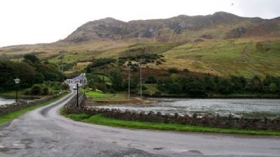
27. Looking SE Across Estuary From Monument
Auto just turned off of Road R335.
Photographed by William Fischer, Jr., September 24, 2009
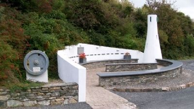
28. Murrisk Fisherman's Monument
Fly Wheel from "The Murrisk Lass" at left.
Credits. This page was last revised on July 12, 2019. It was originally submitted on February 15, 2010, by William Fischer, Jr. of Reynoldsburg, Ohio. This page has been viewed 1,479 times since then and 26 times this year. Last updated on January 20, 2015. Photos: 1, 2, 3, 4, 5, 6, 7, 8, 9, 10, 11, 12, 13, 14, 15, 16, 17, 18, 19, 20, 21, 22, 23, 24, 25, 26, 27, 28. submitted on February 15, 2010, by William Fischer, Jr. of Reynoldsburg, Ohio. • Bill Pfingsten was the editor who published this page.
