Chesterfield Avenue: River to Railroad Connection
Centreville Heritage Trail
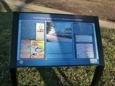
Nothing that came by water up the Corsica River could reach Centreville without traveling along Chesterfield Avenue. Originally the private road to the Chesterfield Plantation home of Elizabeth Nicholson, and the Hopper home at the wharf beyond this mile long road carried coal, fertilizers, building
this page online
Best known in its early days as a raceway for horses and even buggies, the above early 1900’s postcard titled Speed Way, Centreville, shows that the racing aspect was carried on for more than 100 years. Apple orchards graced the early lands where houses stand now on both sides of the street.
Coal, Coal & Coal
Coal was vital to Centreville. It was needed to fuel the town’s utilities by the end of the 19th century. Most homes had a wooden chute available from outside to deliver coal to the basement. The only way to get coal to Centreville was by boat. All of the coal for the town, for private homes, commercial or government use came from one source: the Georges Creek mine in Allegany County. The mine land has been described as
Erected by Maryland Heritage Area Authority.
Topics. This historical marker is listed in these topic lists: Entertainment • Roads & Vehicles • Settlements & Settlers • Waterways & Vessels. A significant historical year for this entry is 1851.
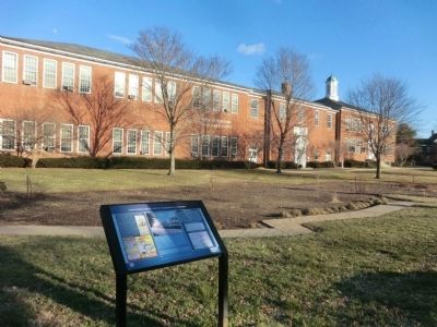
Location. 39° 2.874′ N, 76° 4.096′ W. Marker is in Centreville, Maryland, in Queen Anne's County. It is on Chesterfield Avenue. The marker is located on the grounds of the Queen Anne's County Board of Education building. Touch for map. Marker is in this post office area: Centreville MD 21617, United States of America. Touch for directions.

Regionally, this marker is on the Eastern Shore. It is also in the American Mid-Atlantic, on the Delmarva Peninsula, in the Tidewater, in the Chesapeake Bay Region, and on the Eastern Seaboard. Globally, it is in the North Atlantic Region, North America, the Western Hemisphere, the Western World, and the Anglosphere. Historically, it finds itself in what was once one of the original Thirteen Colonies and also the Antebellum South.
Other nearby markers. At least 8 other markers are within walking distance of this marker: The Lions Club of Centreville POW - MIA Monument (approx. 0.2 miles away); The Queen Anne's County Courthouse (approx. ¼ mile away); Short History of Centreville (approx. ¼ mile away); Queen Anne’s County (approx. ¼ mile away); Honor • Valor • WWI • WWII • Korea • Vietnam (approx. ¼ mile away); a different marker also named Queen Anne's County Courthouse (approx. ¼ mile away); The Courthouse (approx. ¼ mile away); Centreville National Bank of Maryland (approx. 0.3 miles away). Touch for a list and map of all markers in Centreville.
Another marker is no longer nearby. Command Central (was approx. ¼ mile away but has been permanently removed).
Credits. This page was last revised on June 16, 2016. It was originally submitted on February 6, 2015, by Don Morfe of Baltimore, Maryland. This page has been viewed 585 times since then and 23 times this year. Photos: 1, 2. submitted on February 6, 2015, by Don Morfe of Baltimore, Maryland. • Bill Pfingsten was the editor who published this page.
