St. Leonard in Calvert County, Maryland — The American Northeast (Mid-Atlantic)
Jefferson Patterson Park & Museum
Welcome to Another World
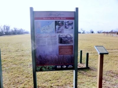
Photographed by Don Morfe, February 10, 2015
1. Jefferson Patterson Park & Museum Marker
Leave behind the image of Indians you may have from watching Hollywood Westerns. There were no horses in the Chesapeake Bay region then, and no one wore big feather headdresses.
This trail will take you back to that time. Along the way you will see how the landscape has changed. Step into the past. Imagine that you are a Patuxent Indian. Just a few hundred yards ahead of you is home.
When Captain John Smith sailed up the Patuxent River in August 1608, he recorded his impressions:
“The fifth river is called Pawtuxant…Upon this river dwell the people called Acquintanacsuck, Pawtuxant, and Matiapament…they inhabite together, and not so dispersed ast the rest….”
[Caption:]
There is more to understanding the past than books can tell us. By experiencing individual lifestyles first hand, we can better appreciate them.
Topics. This historical
this page online
Location. 38° 23.932′ N, 76° 30.525′ W. Marker is in St. Leonard, Maryland, in Calvert County. It is on Jefferson Patterson Park Road. Touch for map. Marker is in this post office area: Saint Leonard MD 20685, United States of America. Touch for directions.

Regionally, this marker is in Southern Maryland. It is also in the American South, specifically in the Upper South, in the Mid-Atlantic, in the Tidewater, in the Chesapeake Bay Region, and on the Eastern Seaboard. Globally, it is in the North Atlantic Region, North America, the Western Hemisphere, the Western World, and the Anglosphere. Historically, it finds itself in what was once one of the original Thirteen Colonies and also the Antebellum South.
Other nearby markers. At least 8 other markers are within walking distance of this marker: A different marker also named Jefferson Patterson Park & Museum (within shouting distance of this marker); The War of 1812 Living History (about 500 feet away,
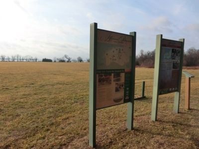
Photographed by Don Morfe, February 10, 2015
2. Jefferson Patterson Park & Museum Marker with the Patuxent River in the background
Credits. This page was last revised on March 24, 2026. It was originally submitted on February 19, 2015, by Don Morfe of Baltimore, Maryland. This page has been viewed 651 times since then and 31 times this year. Photos: 1, 2. submitted on February 19, 2015, by Don Morfe of Baltimore, Maryland. • Bill Pfingsten was the editor who published this page.
