Lorton in Fairfax County, Virginia — The American South (Mid-Atlantic)
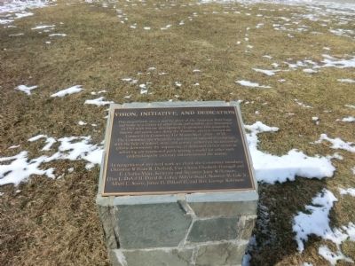
Vision, Initiative, and Dedication
Mason Neck State Park and Elizabeth Hartwell Mason Neck National Wildlife Refuge
Photographed by Don Morfe, February 28, 2015
1. Vision, Initiative, and Dedication Marker
In recognition of this hard work we thank the Committee member: Chairman William R. Durland, Vice Chairs Elizabeth Hartwell and E. Charles Majer, Secretary and Treasurer Joyce Wilkenson, Clive L. DuVall II, David B. Cobey, Melvin Siegel, Norman M. Cole, Albert C. Scartz, James H. Dillard II, and Mrs. George Robinson.
Topics. This historical marker is listed in these topic lists: Animals • Environment. A significant historical year for this entry is 1965.
Location. 38° 38.662′ N, 77° 11.914′ W. Marker is
this page online

Regionally, this marker is in the Washington Metropolitan Area and in Northern Virginia. It is also in the American South, specifically in the Upper South, in the Mid-Atlantic, and on the Eastern Seaboard. Globally, it is in the North Atlantic Region, North America, the Western Hemisphere, the Western World, and the Anglosphere. Historically, it finds itself in what was once the territory of the Mississippian Culture, one of the original Thirteen Colonies, one of the Confederate States of America, and the Antebellum South.
Other nearby markers. At least 8 other markers are within 2 miles of this marker, measured as the crow flies: "Spirit of America" (a few steps from this marker); At Home in an Ecotone (about 500 feet away, measured in a direct line); Birds Then and Now (about 600 feet away); Delaying Tactics
Photographed by Don Morfe, February 28, 2015
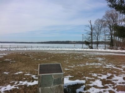
2. Vision, Initiative, and Dedication Marker
Also see . . . Mason Neck State Park. Virginia Department of Conservation & Recreation (Submitted on March 15, 2015.)
Photographed by Don Morfe, February 28, 2015
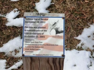
3. National Day of Service September 10, 2011
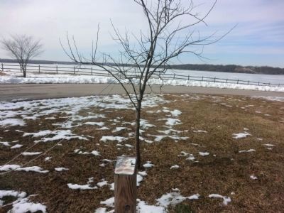
This tree was planted in remembrance of the 10th Anniversary of September 11,2001
Photographed by Don Morfe, February 28, 2015
4. The Remembrance Tree
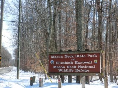
Photographed by Don Morfe, February 28, 2015
5. Sign at the entrance to the Park
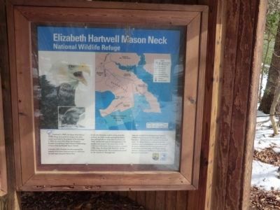
Photographed by Don Morfe, February 28, 2015
6. Elizabeth Hartwell Mason Neck Wildlife Refuge-kiosk panel
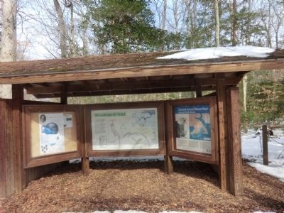
Photographed by Don Morfe, February 28, 2015
7. Elizabeth Hartwell Mason Neck Wildlife Refuge-kiosk shelter
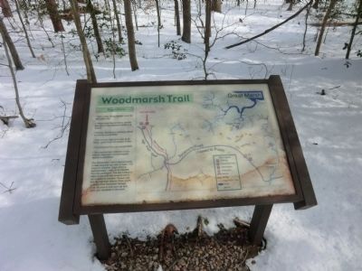
Photographed by Don Morfe, February 28, 2015
8. Woodmarsh Trail Map
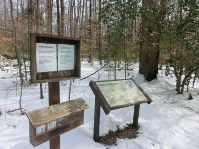
Photographed by Don Morfe, February 28, 2015
9. Attention Dog Walkers!!
Credits. This page was last revised on June 16, 2016. It was originally submitted on March 6, 2015, by Don Morfe of Baltimore, Maryland. This page has been viewed 531 times since then and 10 times this year. Photos: 1, 2, 3, 4, 5, 6, 7, 8, 9. submitted on March 6, 2015, by Don Morfe of Baltimore, Maryland. • Bernard Fisher was the editor who published this page.
