Dunbar in Kanawha County, West Virginia — The American South (Appalachia)
Indian Mound / Mounds-Earthworks
Indian Mounds
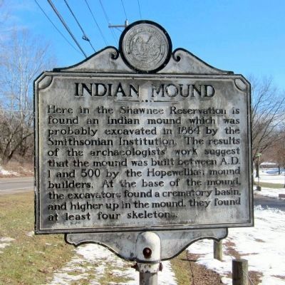
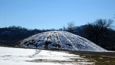
Here in the Shawnee Reservation is found an Indian mound which was probably excavated in 1884 by the Smithsonian Institution. The results of the archaeologists' work suggest that the mound was built between A.D. 1 and 500 by the Hopewellian mound builders. At the base of the mound, the excavators found a crematory basin, and higher up in the mound, they found at least four skeletons.
Mounds-Earthworks
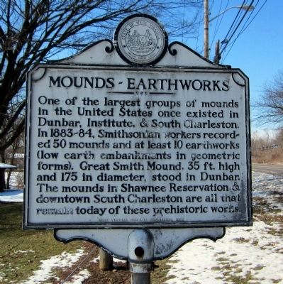
One of the largest groups of mounds in the United States once existed in Dunbar, Institute, & South Charleston. In 1883-84, Smithsonian workers recorded 50 mounds and at least 10 earthworks (low earth embankments in geometric forms). Great Smith Mound, 35 ft. high and 175 in diameter, stood in Dunbar. The mounds in Shawnee Reservation & downtown South Charleston are all that remain today of these prehistoric works.
Erected 1963 by West Virginia Historic Commission.
Topics and series. This historical marker is listed in these topic lists: Anthropology & Archaeology • Cemeteries & Burial Sites • Native Americans. In addition, it is included in the West Virginia Archives and History series list. A significant historical year for this entry is 1884.
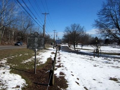
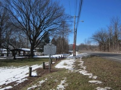
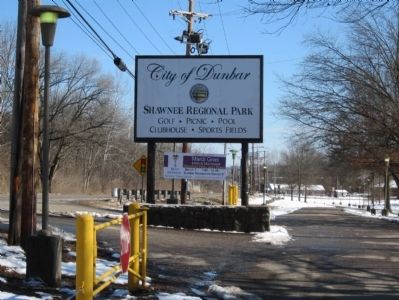
Location. 38° 22.802′ N, 81° 45.549′ W. Marker is in Dunbar, West Virginia, in Kanawha County. Marker is on Fairlawn Avenue (West Virginia Route 25) east of Lincoln Avenue, on the right when traveling east. Located in Shawnee Regional Park. Touch for map. Marker is in this post office area: Dunbar WV 25064, United States of America. Touch for directions.
Other nearby markers. At least 8 other markers are within walking distance of this marker. Sgt Deforest L. Talbert (approx. 0.3 miles away); Veterans Memorial (approx. 0.3 miles away); James Edwin Campbell (approx. 0.3 miles away); John H. Hill (approx. 0.3 miles away); J. McHenry Jones (approx. 0.3 miles away); Brian O. Hemphill (approx. 0.3 miles away); Byrd Prillerman (approx. 0.3 miles away); Hazo W. Carter, Jr. (approx. 0.3 miles away).
Credits. This page was last revised on August 12, 2020. It was originally submitted on March 13, 2015, by Bernard Fisher of Richmond, Virginia. This page has been viewed 795 times since then and 72 times this year. Photos: 1, 2, 3, 4, 5, 6. submitted on March 13, 2015, by Bernard Fisher of Richmond, Virginia.
