Lookout Mountain in Hamilton County, Tennessee — The American South (East South Central)
Occupation of the Summit of Lookout
Nov. 25th. 1863.
Inscription.
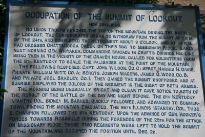
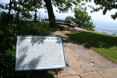
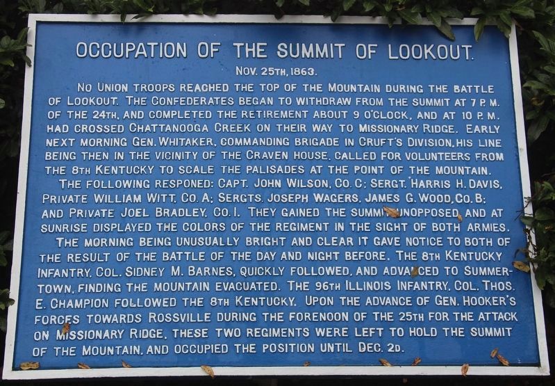
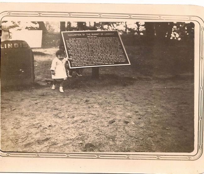
No Union troops reached the top of the Mountain during the Battle of Lookout. The Confederates began to withdraw from the summit at 7 P.M. of the 24th, and completed the retirement about 9 o'clock, and at 10 P.M. had crossed Chattanooga Creek on their way to Missionary Ridge. Early next morning Gen. Whitaker, commanding brigade in Cruft's Division, his line being then in the vicinity of the Craven House, called for volunteers from the 8th Kentucky to scale the palisades at the Point of the Mountain.
The following responded: Capt. John Wilson, Co. C; Sergt. Harris H. Davis, Private William Witt, Co. A; Sergts. Joseph Wagers, James G. Wood, Co. B; and Joel Bradley, Co. I. They gained the summit unopposed, and at sunrise displayed the colors of the regiment in the sight of both armies.
The morning being unusually bright and clear it gave notice to both of the result of the battle of the day and night before. The 8th Kentucky Infantry, Col. Sidney M. Barnes, quickly followed, and advanced to Summertown finding the mountain evacuated. The 96th Illinois Infantry, Col. Thos. E. Champion followed the 8th Kentucky. Upon the advance of Gen. Hooker's forces towards Rossville during the forenoon of the 25th for the attack on Missionary Ridge. These two regiments were left to hold the summit of the mountain, and occupied the position until Dec. 2d.
Erected 1890 by the Chickamauga-Chattanooga National Battlefield Commission. (Marker Number MT-10 .)
Topics and series. This historical marker is listed in this topic list: War, US Civil. In addition, it is included in the Chickamauga and Chattanooga National Military Park, Point Park, and the Chickamauga and Chattanooga National Military Park: November 24, 1863 series lists. A significant historical date for this entry is November 23, 1863.
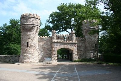
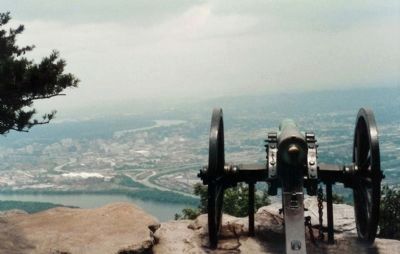
Location. 35° 0.633′ N, 85° 20.625′ W. Marker is in Lookout Mountain, Tennessee, in Hamilton County. Marker can be reached from Point Park Road, 0 miles north of East Brow Road (Route Natin). This historical marker is located at Point Park, on the northern crest of Lookout Mountain, in a portion of the Chickamauga and Chattanooga National Military Park. It is about 300 feet north of the walk through entrance to Point Park and situated just behind a Confederate battery that was positioned on the crest. Touch for map. Marker is in this post office area: Lookout Mountain TN 37350, United States of America. Touch for directions.
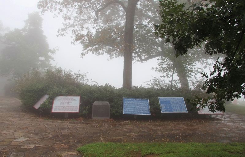
Other nearby markers. At least 8 other markers are within walking distance of this marker. 96th Illinois Infantry (here, next to this marker); Corput's Georgia Battery (here, next to this marker); Confederate Forces – Battle of Lookout (here, next to this marker); Union Casualties (a few
steps from this marker); Confederate Casualties (a few steps from this marker); Stevenson's Division (within shouting distance of this marker); Point Park (within shouting distance of this marker); The Battles for Chattanooga (within shouting distance of this marker). Touch for a list and map of all markers in Lookout Mountain.
Photographed By Mike Stroud, July 1984
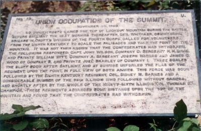
7. 1984 version of Occupation of the Summit of Lookout. Marker
No. 12. U.
No Union troops gained the top of Lookout Mountain during the battle. Before daylight the next morning thereafter, Gen. Whitaker, commanding brigade in Cruft's Division of the Fourth Corps, called for volunteers from the Eighth Kentucky to scale the palisades and take the point of the mountain. It was not then known that the Confederates had withdrawn. The following responded: Capt. John Wilson, Company C; Sargent H. H. Davis, and Private William Witt. Company A: Sargent Joseph Wagers and James G.Wood of Company B, and Private Joel Bradley of Company I. These scaled the bluff soon after daylight, and at sunrise unfurled the flag of the Regiment upon the point, in full view of both armies. This force was soon followed by the Eighth Kentucky Regiment, Col. Sidney M. Barnes and a conciderable number of the 96th Illinois who followed without orders and shortly after by the whole of the Ninety-Sixty Illinois, Col. Thomas E. Champion. These regiments advanced some distance upon the top of the mountain and found that the Confederates had withdrawn.
No Union troops gained the top of Lookout Mountain during the battle. Before daylight the next morning thereafter, Gen. Whitaker, commanding brigade in Cruft's Division of the Fourth Corps, called for volunteers from the Eighth Kentucky to scale the palisades and take the point of the mountain. It was not then known that the Confederates had withdrawn. The following responded: Capt. John Wilson, Company C; Sargent H. H. Davis, and Private William Witt. Company A: Sargent Joseph Wagers and James G.Wood of Company B, and Private Joel Bradley of Company I. These scaled the bluff soon after daylight, and at sunrise unfurled the flag of the Regiment upon the point, in full view of both armies. This force was soon followed by the Eighth Kentucky Regiment, Col. Sidney M. Barnes and a conciderable number of the 96th Illinois who followed without orders and shortly after by the whole of the Ninety-Sixty Illinois, Col. Thomas E. Champion. These regiments advanced some distance upon the top of the mountain and found that the Confederates had withdrawn.
Photographed By Mike Stroud, July 1984
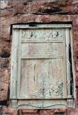
9. Bas Relief : Battle Above The Clouds
Twenty Ninth Regiment
Pennsylvania Volunteer Infantry
Colonel William Richards Jr., Commanding
Cobham's Brigade Geary's Division
Slocum's Twelfth Corps
Hooker's Detatchment
from The Army Of The Potomac
Battle Above The Clouds
Pennsylvania Volunteer Infantry
Colonel William Richards Jr., Commanding
Cobham's Brigade Geary's Division
Slocum's Twelfth Corps
Hooker's Detatchment
from The Army Of The Potomac
Battle Above The Clouds
Photographed By Dale K. Benington, July 27, 2017
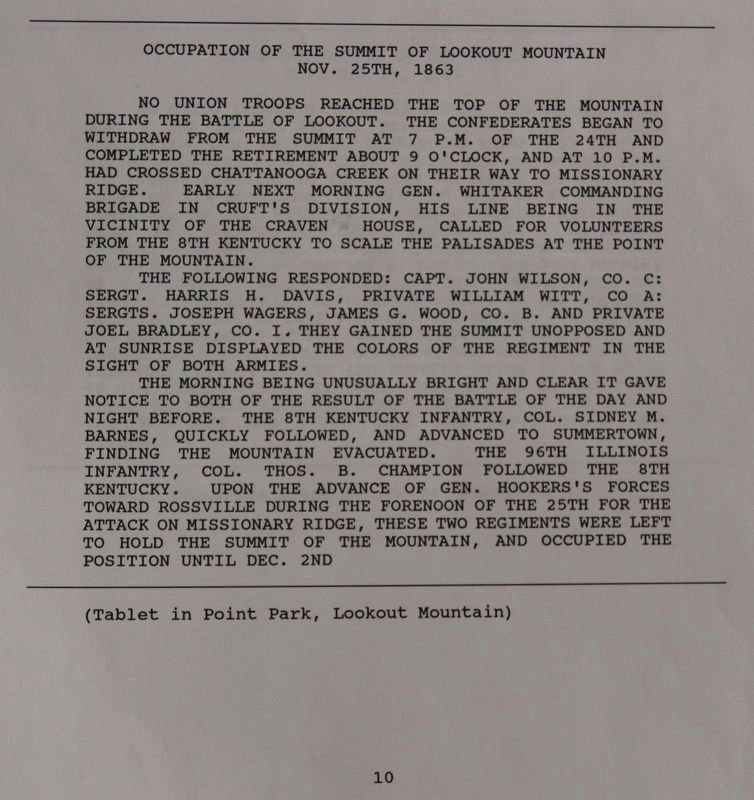
11. Occupation of the Summit of Lookout Marker
View of page 10 from the National Park Service’s record book on the Chattanooga - Chickamauga ”MT-numbered” listings of classified structures, which is kept in the Chickamauga Battlefield Park's Visitor Center.
Credits. This page was last revised on July 11, 2019. It was originally submitted on June 20, 2009, by Dale K. Benington of Toledo, Ohio. This page has been viewed 1,712 times since then and 19 times this year. Last updated on March 18, 2015, by J. Makali Bruton of Accra, Ghana. Photos: 1, 2. submitted on June 20, 2009, by Dale K. Benington of Toledo, Ohio. 3, 4. submitted on August 30, 2017, by Dale K. Benington of Toledo, Ohio. 5, 6. submitted on June 20, 2009, by Dale K. Benington of Toledo, Ohio. 7, 8, 9. submitted on June 24, 2009, by Mike Stroud of Bluffton, South Carolina. 10. submitted on December 17, 2010, by Dale A Dietrich of Slidell, Louisiana. 11. submitted on August 30, 2017, by Dale K. Benington of Toledo, Ohio. • Bill Pfingsten was the editor who published this page.
