Durant in Bryan County, Oklahoma — The American South (West South Central)
Fort Washita
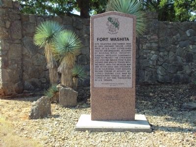
Photographed by Michael Manning, August 25, 2011
1. Fort Washita Marker
Erected 1995 by Oklahoma Historical Society. (Marker Number 183.)
Topics and series. This historical marker is listed in these topic lists: Forts and Castles • Indigenous Peoples and Communities • War, Mexican-American • War, US Civil. In addition, it is included in the Former U.S. Presidents: #12 Zachary Taylor, and the Oklahoma Historical Society series lists. A significant historical year for this entry is 1842.
Location. 34° 6.085′ N, 96° 32.769′ W. Marker is in Durant, Oklahoma, in Bryan County. It is on State Highway 199 3½ miles west of State Highway 78, on the left when traveling east. Marker is located
this page online

Regionally, this marker is in the Choctaw Nation and in Southeast Oklahoma—Choctaw Country. It is also in the American South, specifically on the prairies, and on the Southern Plains. Globally, it is in North America, the Western Hemisphere, the Western World, and the Anglosphere. Historically, it finds itself in what was once New Spain, the territory of the Mississippian Culture, and the Louisiana Purchase.
Other nearby markers. At least 8 other markers are within 11 miles of this marker, measured as the crow flies: General Douglas Hancock Cooper (about 700 feet away, measured in a direct line); Chickasaw Trail of Tears (approx. 0.2 miles away); Colbert Family (approx. 0.3 miles away); Chickasaw White House (approx. 7.3 miles away); Fort McCulloch (approx. 8.1 miles away); Nail's Crossing (approx. 9.1 miles away); Site of Fisher's Station (approx. 9.6 miles away); Durant (approx. 11.1 miles away). Touch for a list and map of all markers in Durant.
Also see . . .
1. Fort Washita.
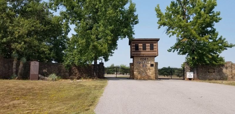
Photographed by James Hulse, September 12, 2021
2. The entrance to Fort Washita and Marker
2. Fort Washita. Wikipedia entry (Submitted on May 1, 2025, by Larry Gertner of New York, New York.)
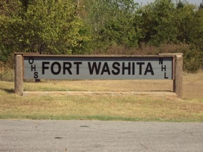
Photographed by Michael Manning, August 25, 2011
3. Fort Washita Marker
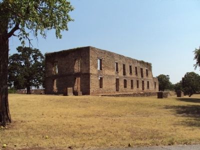
Photographed by Michael Manning, August 25, 2011
4. Fort Washita Marker
Credits. This page was last revised on May 1, 2025. It was originally submitted on February 13, 2012, by Michael Manning of Woodlawn, Tennessee. This page has been viewed 1,652 times since then and 67 times this year. Last updated on March 19, 2015, by J. Makali Bruton of Washington, District of Columbia. Photos: 1. submitted on February 13, 2012, by Michael Manning of Woodlawn, Tennessee. 2. submitted on March 9, 2022, by James Hulse of Medina, Texas. 3, 4. submitted on February 13, 2012, by Michael Manning of Woodlawn, Tennessee. • Bernard Fisher was the editor who published this page.
