Society Hill in Philadelphia in Philadelphia County, Pennsylvania — The American Northeast (Mid-Atlantic)
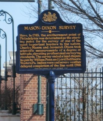
Mason-Dixon Survey
Erected 2013 by Pennsylvania Historical & Museum Commission.
Topics and series. This historical marker is listed in these topic lists: Colonial Era • Exploration • Government & Politics • Science & Medicine. In addition, it is included in the Pennsylvania Historical and Museum Commission series list. A significant historical year for this entry is 1763.
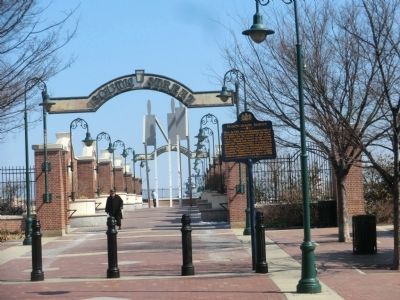
Location. 39° 56.453′ N, 75° 8.621′ W. Marker is in Philadelphia, Pennsylvania, in Philadelphia County. It is in Society Hill. Marker is at the intersection of Front Street and South Street on Front Street. Touch for map. Marker is at or near this postal address: 526 South St, Philadelphia PA 19147, United States of America. Touch for directions.
Other nearby markers. At least 8 other markers are within walking distance of this marker. Stephen Decatur (a few steps from this marker); Robert Smith (about 600 feet away, measured in a direct line); Queen Village / The New Market and Head House (about 700 feet away); U.S.S. United States (about 800 feet away); Society Hill / The New Market and Head House (approx. 0.2 miles away); POW★MIA (approx. 0.2 miles away); Tồ Quốc Ghi O'n (approx. 0.2 miles away); Tracings from the National Vietnam Veterans Memorial (approx. 0.2 miles away). Touch for a list and map of all markers in Philadelphia.
Credits. This page was last revised on February 2, 2023. It was originally submitted on March 28, 2015, by Don Morfe of Baltimore, Maryland. This page has been viewed 891 times since then and 58 times this year. Photos: 1, 2. submitted on March 28, 2015, by Don Morfe of Baltimore, Maryland. • Bill Pfingsten was the editor who published this page.

