
Murfreesboro in Rutherford County, Tennessee — The American South (East South Central)
Battle of Murfreesboro
Jan. 2, 1863
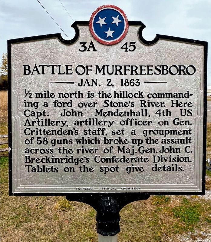
Photographed by Shane Oliver, January 30, 2021
1. Battle of Murfreesboro Marker
Erected by Tennessee Historical Commission. (Marker Number 3A 45.)
Topics and series. This historical marker is listed in these topic lists: Notable Events • War, US Civil. In addition, it is included in the Tennessee Historical Commission series list.
Location. 35° 52.874′ N, 86° 25.782′ W. Marker is in Murfreesboro, Tennessee, in Rutherford County. It is at the intersection of New Nashville Highway (U.S. 41) and Van Cleeve Lane, on the left when traveling north on New Nashville Highway. Touch for map. Marker is in this post office area: Murfreesboro TN 37129, United States of America. Touch for directions.

Regionally, this marker is in Middle Tennessee and in Greater Nashville. It is also in the American South and specifically in the
this page online
Other nearby markers. At least 8 other markers are within walking distance of this marker: In Battle, Good Men Die (about 700 feet away, measured in a direct line); Artillery Protects the Supply Line (approx. 0.2 miles away); U.S. Regulars Memorial (approx. 0.2 miles away); This "Precious Dust" (approx. 0.2 miles away); A Patriotic Pulpit (approx. 0.2 miles away); The Charge Kept Coming, Coming Like the Sea (approx. ¼ mile away); Passing Through Murfreesboro (approx. ¼ mile away); Their Longest, Coldest New Year’s Eve (approx. ¼ mile away). Touch for a list and map of all markers in Murfreesboro.
Other markers no longer nearby. Stones River National Battlefield (was about 800 feet away but has been permanently removed); Stones River National Cemetery (was approx. 0.2 miles away but has been permanently removed).
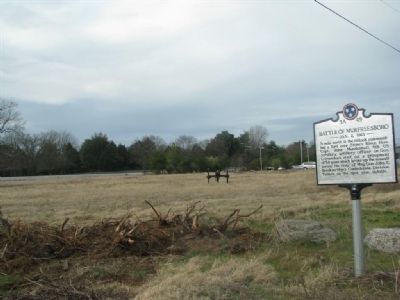
Photographed by Tom Gillard, December 30, 2009
2. Battle of Murfreesboro Marker
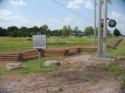
Photographed by Craig Swain, August 28, 2010
3. Battle of Murfreesboro Marker
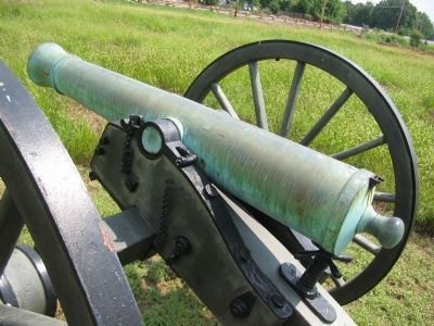
Photographed by Craig Swain, August 28, 2010
4. 6-pdr Field Gun
The cannon near the marker is a 6-pdr Field Gun, produced by Marshall & Company of St. Louis, Missouri in 1861. It was given registry number 7 and weighed 893 pounds.
Photographed by Craig Swain, August 28, 2010
5. McFadden's Lane and Railroad
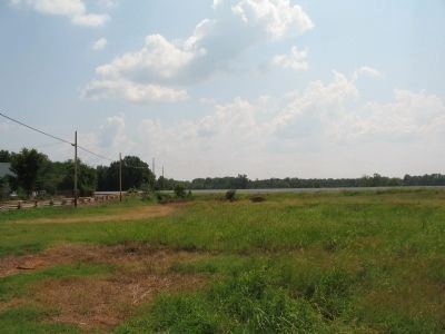
To the left of this view, bordered by a rail fence, is the trace of McFadden's Lane. The gravel railroad bed runs from left to right in this view. At the time of the battle, this was the center of the Federal position.
Photographed by Shane Oliver, January 30, 2021
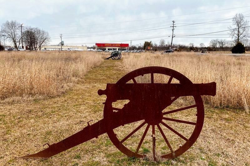
6. Artillery Pieces near the "Battle of Murfreesboro" Marker
Credits. This page was last revised on March 16, 2021. It was originally submitted on December 31, 2009, by Tom Gillard of Tullahoma, Tennessee. This page has been viewed 2,612 times since then and 109 times this year. Last updated on April 10, 2015, by J. Makali Bruton of Washington, District of Columbia. Photos: 1. submitted on March 13, 2021, by Shane Oliver of Richmond, Virginia. 2. submitted on December 31, 2009, by Tom Gillard of Tullahoma, Tennessee. 3, 4, 5. submitted on November 10, 2010, by Craig Swain of Leesburg, Virginia. 6. submitted on March 13, 2021, by Shane Oliver of Richmond, Virginia. • Bill Pfingsten was the editor who published this page.
