Vails Gate in Orange County, New York — The American Northeast (Mid-Atlantic)
The King’s Highway
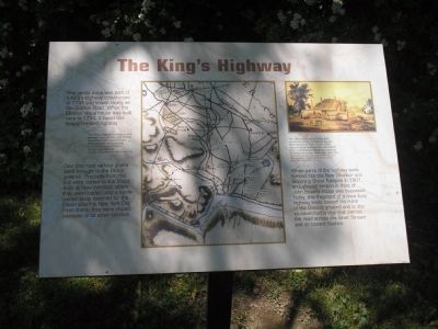
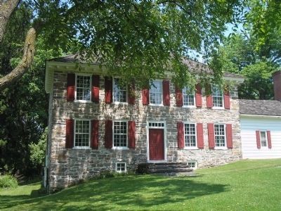
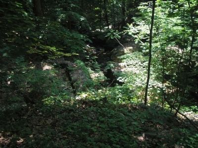
This gentle slope was part of a King’s Highway constructed in 1741 and known locally as the Goshen Road. When the Ellison’s stone house was built here in 1754, it faced this heavily traveled highway.
Over this road various grains were brought to the Ellison gristmill. Products from the mill were carted to the Ellison dock at New Windsor, where they loaded onto a family-owned sloop destined for the Ellison wharf in New York City. From there, they were shipped overseas or to other colonies.
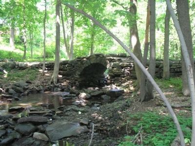
When parts of the highway were formed into the New Windsor and Blooming Grove Turnpike in 1801, an L-shaped section in front of John Ellison’s house was by-passed. Today, this fragment of a once busy highway leads toward the ruins of the Ellison’s gristmill and to the stone-arched bridge that carried the road across the Silver Stream and on toward Goshen.
Erected by Knox’s Headquarters State Historic Site.
Topics. This historical marker is listed in these topic lists: Colonial Era • Notable Places • Roads & Vehicles. A significant historical year for this entry is 1741.
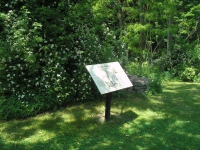
Location. 41° 27.286′ N, 74° 2.998′ W. Marker is in Vails Gate, New York, in Orange County. Marker is on Forge Hill Road, on the right when traveling east. Marker is located in Knox’s Headquarters State Historic Site. Touch for map. Marker is in this post office area: Vails Gate NY 12584, United States of America. Touch for directions.
Other nearby markers. At least 8 other markers are within 2 miles of this marker, measured as the crow flies. The Ellison Gristmill (within shouting distance of this marker); Knox Headquarters (about 400 feet away, measured in a direct line); Vails Gate, N.Y. (approx. 0.2 miles away); Edmonston House (approx. 0.6 miles away); The Forge (approx. 0.6 miles away); Brewster Forge Site (approx. 0.6 miles away); Camps of 1782-83 (approx. 1.2 miles away); Freedom Road (approx. 1.3 miles away). Touch for a list and map of all markers in Vails Gate.
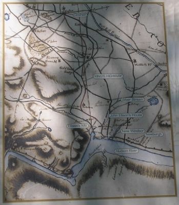
More about this marker. The center of the marker contains a map with the caption "The King’s Highway (outlined in red) between New Windsor and Goshen appears on this detail from the Erskine-Dewitt map prepared in 1778 by Robert Erskine, the Surveyor-General. Courtesy of the New York Historical Society."
The upper right of the marker features a picture of the Ellison House, with the caption "The 18th-century stone bridge that carried the King’s Highway across the Silver Stream is shown in this 1852 view of Knox’s Headquarters, reproduced from a hand-colored lithograph published by Wiltsie and Hess, Newburgh, New York. Courtesy of the National Archives and Records Administration, Franklin D. Roosevelt Library, Hyde Park, New York."
Credits. This page was last revised on July 31, 2020. It was originally submitted on June 8, 2008, by Bill Coughlin of Woodland Park, New Jersey. This page has been viewed 1,420 times since then and 25 times this year. Photos: 1, 2, 3, 4, 5, 6. submitted on June 8, 2008, by Bill Coughlin of Woodland Park, New Jersey.
