Bensalem Township near Croydon in Bucks County, Pennsylvania — The American Northeast (Mid-Atlantic)
Tides at Neshaminy
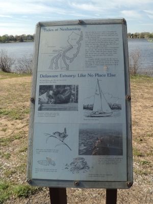
Can you feel the ocean’s tides in Pennsylvania? You can at Neshaminy. Waves won’t knock you down, but if you watch the river, you’ll see it rise or fall a foot an hour.
Even though the river flows another 116 miles from here to the ocean, you’re at sea level. When the tide comes in at a New Jersey beach, the water rises here also. Because tides affect this part of the river, it’s called an estuary.
You won’t find another place in Pennsylvania like this one. The estuary at Neshaminy is fresh water, not salt, unlike the lower estuary. Plants and animals from two worlds meet here – some from the ocean and some from upstream headwaters.
Congress thought estuaries like this were so important that it passed the Coastal Zone Management Act. The Act provides money to the Commonwealth to ensure proper management for its coastal resources.
Delaware Estuary: Like No Place Else
We need this estuary. We use it as a river and as a link to the ocean. Philadelphia’s drinking water comes from the estuary. The inlet pipe is three miles downstream of here at Torresdale. People boat in the estuary. Marsh wrens, rare elsewhere in the state, eat snails and water insects in the lower estuary. Because early Americans used the river, we find traces that teach us about their lives. People find crabs, shad and occasionally a stray whale in the estuary.
Topics. This historical marker is listed in these topic lists: Environment • Waterways & Vessels.
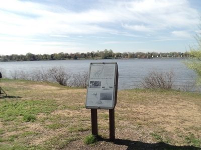
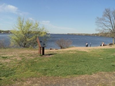
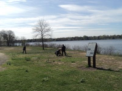
Location. 40° 4.465′ N, 74° 55.119′ W. Marker is near Croydon, Pennsylvania, in Bucks County. It is in Bensalem Township. Marker can be reached from State Road, on the right when traveling north. Marker is located at the waterfront in Neshaminy State Park. Touch for map. Marker is at or near this postal address: 3401 State Road, Bensalem PA 19020, United States of America. Touch for directions.
Other nearby markers. At least 8 other markers are within 2 miles of this marker, measured as the crow flies. Beverly Veterans (approx. 0.4 miles away in New Jersey); Dunk’s Ferry Bicentennial Memorial (approx. 0.4 miles away in New Jersey); St. Stephen's Episcopal Church (approx. 0.6 miles away in New Jersey); World War (approx. 0.7 miles away in New Jersey); Memorial Field (approx. one mile away in New Jersey); Avenue of Flags (approx. 1.4 miles away in New Jersey); 9/11 Memorial (approx. 1.9 miles away in New Jersey); Katharine Drexel (approx. 2.1 miles away).
More about this marker. A map at the upper left of the marker shows the location of the Delaware Estuary Coastal Zone and Neshaminy State Park. Below this is a photograph of a Delaware River port with the caption of “Ships from Portugal bring ore upriver to the steel plant. Philadelphia’s ports, the third busiest in the world, bring in coffee, cocoa, petroleum and sugar.” Picture courtesy of the Delaware River Port Authority.
Credits. This page was last revised on February 7, 2023. It was originally submitted on May 1, 2015, by Bill Coughlin of Woodland Park, New Jersey. This page has been viewed 579 times since then and 25 times this year. Photos: 1, 2, 3, 4. submitted on May 1, 2015, by Bill Coughlin of Woodland Park, New Jersey.


