Elk Lick Township near Springs in Somerset County, Pennsylvania — The American Northeast (Mid-Atlantic)
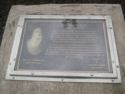
John Nelson Davis
5 April 1835 - 28 February 1913
Mr. Davis was a naturalist and was fascinated with Mt. Davis and the High Point thoughtout his life. It seems appropriate that the mountain is named in his honor. The Commonwealth of Pennsylvania purchased most of the land from Mr. Emma Humes in 1929. Smaller parcels were purchased from the Davis heirs in 1921 and 1942. In 1974 the 581 acres surrounding the High Point was set aside as the Mt. Davis Natural Area.
Donated by Donald Nevin Shrader, great grandson.
Topics. This historical marker is listed in these topic lists: Education • Environment • Natural Features • War, US Civil. A significant historical year for this entry is 1929.
Location. 39° 47.155′ N, 79° 10.597′ W. Marker is near Springs, Pennsylvania, in Somerset County. It is in Elk Lick Township. Marker can be reached from Mt. Davis Road, 0.6 miles south of S. Wolf Rock Road when traveling south . Marker is accessible from footpath that is about 300 feet from the parking lot for Mt. Davis. Touch for map. Marker is at or near this postal address: S Wolf Rock Rd, Fort Hill PA 15540, United States of America. Touch for directions.
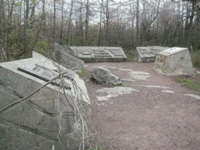
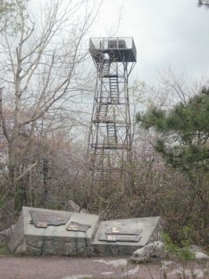
Other nearby markers. At least 8 other markers are within walking distance of this marker. Industry On Negro Mountain (here, next to this marker); Tar Kiln (here, next to this marker); The Wild Child (here, next to this marker); Baughman Rocks (here, next to this marker); Mount Davis (within shouting distance of this marker); You are now standing more than fifty feet above the Highest Point (within shouting distance of this marker); Mt. Davis (within shouting distance of this marker); a different marker also named Baughman Rocks (approx. 0.7 miles away). Touch for a list and map of all markers in Springs.
Credits. This page was last revised on February 7, 2023. It was originally submitted on June 11, 2008, by F. Robby of Baltimore, Maryland. This page has been viewed 2,846 times since then and 47 times this year. Photos: 1, 2, 3. submitted on June 11, 2008, by F. Robby of Baltimore, Maryland.


