Near Gallatin in Sumner County, Tennessee — The American South (East South Central)
Ziegler's Station
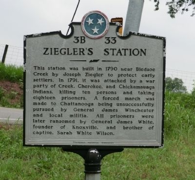
Photographed by Don Morfe, July 23, 2013
1. Ziegler's Station Marker
Erected by Tennessee Historical Commission. (Marker Number 3B 33.)
Topics and series. This memorial is listed in these topic lists: Settlements & Settlers • War, French and Indian. In addition, it is included in the Tennessee Historical Commission series list. A significant historical year for this entry is 1790.
Location. Memorial has been reported missing. It was located near 36° 23.867′ N, 86° 21.683′ W. Memorial was near Gallatin, Tennessee, in Sumner County. It was at the intersection of Hartsville Pike and Zieglers Fort Road (a.k.a.: Brights Lane), on the right when traveling east on Hartsville Pike. Touch for map. Memorial was in this post
this page online

Regionally, this memorial was in Middle Tennessee and in Greater Nashville. It was also in the American South and specifically in the Upper South. Globally, it was in North America, the Western Hemisphere, the Western World, and the Anglosphere. Historically, it found itself in what was once the territory of the Mississippian Culture, one of the Confederate States of America, and the Antebellum South.
Other nearby markers. At least 8 other markers are within 3 miles of this location, measured as the crow flies: James B. Jameson House (approx. 0.7 miles away); Cragfont (approx. 1.1 miles away); a different marker also named Cragfont (approx. 1.2 miles away); a different marker also named Cragfont (approx. 1.2 miles away); Civil War in Sumner County (approx. 1.3 miles away); Bledsoe's Fort and Monument (approx. 2.1 miles away); Abraham “Abram” Bledsoe (approx. 2.1 miles away); Bill "Hoss" Allen (approx. 2.2 miles away). Touch for a list and map of all markers in Gallatin.
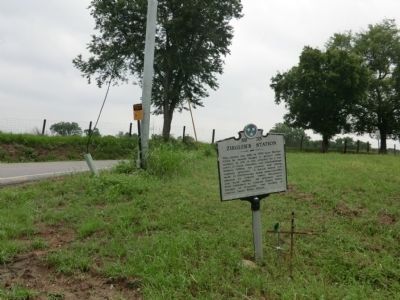
Photographed by Don Morfe, July 23, 2013
2. Ziegler's Station Marker
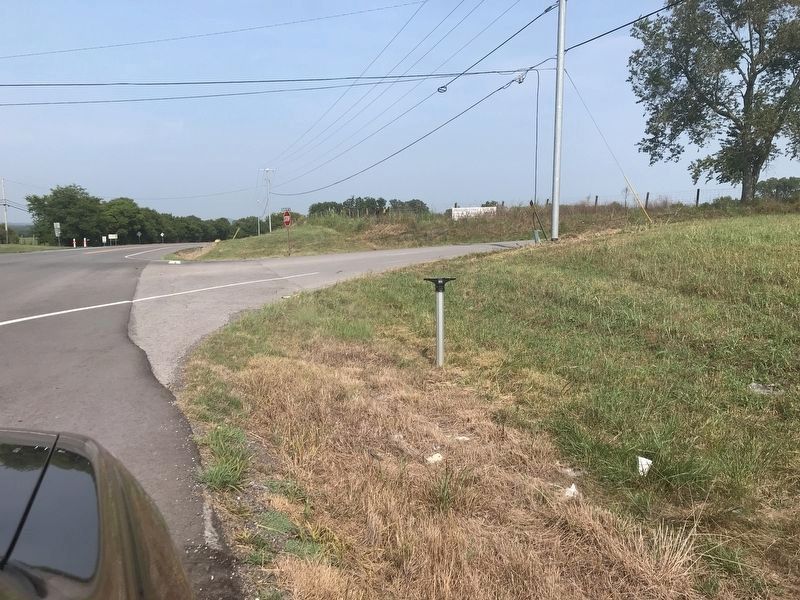
Photographed by Duane and Tracy Marsteller, July 31, 2021
3. Ziegler's Station Marker
The marker is missing but the post remains.
Credits. This page was last revised on August 2, 2021. It was originally submitted on September 6, 2013, by Don Morfe of Baltimore, Maryland. This page has been viewed 2,640 times since then and 225 times this year. Last updated on May 5, 2015, by J. Makali Bruton of Washington, District of Columbia. Photos: 1, 2. submitted on September 6, 2013, by Don Morfe of Baltimore, Maryland. 3. submitted on August 2, 2021, by Duane and Tracy Marsteller of Murfreesboro, Tennessee. • Bernard Fisher was the editor who published this page.
