Near Manassas in Prince William County, Virginia — The American South (Mid-Atlantic)
Short of Total Victory
— Second Battle of Manassas - Day Three - August 30, 1862 —
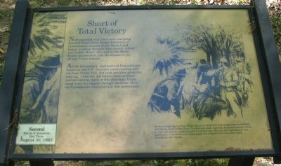
At the last minute, regiments of Pennsylvania Reserves and U.S. Regulars came running full-tilt from Henry Hill, and took position along the road cut. From the hill behind them artillery started lobbing shells in this direction; Union small arms fire ripped through the trees. Here the Confederate counterattack lost momentum.
The hour's fighting on Chinn Ridge had given the Union just enough time to establish this defense along Sudley Road. Confederates made repeated, disjointed assaults along the half mile line but could not quite break through. This was the Confederates' last opportunity to annihilate the Union Army, but darkness fell before they could concentrate their forces.
Topics. This historical marker is listed in this topic list: War, US Civil.
Location. 38° 48.706′ N, 77° 31.497′ W. Marker is near Manassas, Virginia, in Prince William County. Marker is at the intersection of Chinn Ridge Loop and Sudley Road (Virginia Road 234), on the left when traveling west on Chinn Ridge Loop. Located on the driving tour of Manassas National Battlefield Park, along the route to stop nine, Chinn Ridge. Touch for map. Marker is in this post office area: Manassas VA 20109, United States of America. Touch for directions.
Other nearby markers. At least 8 other markers are within walking distance of this marker. Frank Head (about 600 feet away, measured in a direct line); Counterattack (approx. 0.2 miles away); Defeat and Disarray (approx. 0.2 miles away); Final Struggle (approx. 0.2 miles away); 7th Georgia Markers (approx. 0.2 miles away); Position 7th G.A. Regt. (approx. 0.2 miles away); Artillery Duel (approx. 0.2 miles away); Lieutenant Ramsey (approx. 0.2 miles away). Touch for a list and map of all markers in Manassas.
More about this marker. The marker's illustration depicts Confederate soldiers involved in the fighting described on the marker's text.
Also see . . . Second Manassas. A self guided tour from the Army History Center. (Submitted on June 16, 2008, by Craig Swain of Leesburg, Virginia.)

Photographed By Craig Swain, May 4, 2008
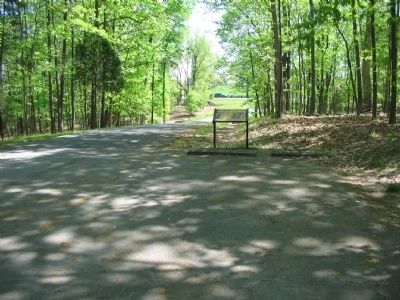
3. Approach to Sudley Road
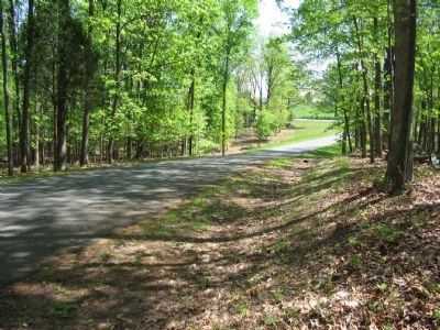
The heavily traveled Sudley Road still passes through the battlefield roughly along the same road bed as it did during the war. The ground here slopes toward the road. Portions of Porter's Federal V Corps and the Pennsylvania Reserves of Reynold's Division advanced to block the Confederates here.
Credits. This page was last revised on June 16, 2016. It was originally submitted on June 16, 2008, by Craig Swain of Leesburg, Virginia. This page has been viewed 1,065 times since then and 10 times this year. Photos: 1, 2, 3, 4. submitted on June 16, 2008, by Craig Swain of Leesburg, Virginia.


