Brantford in Brant County, Ontario — Central Canada (North America)
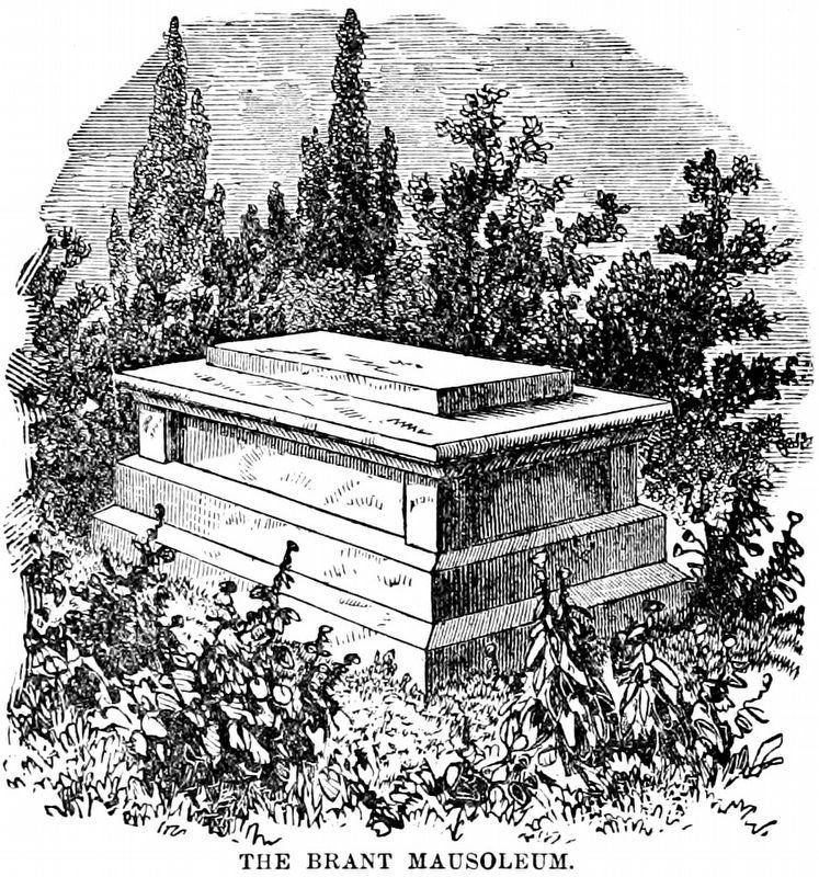
Tomb of THAYENDANEGEA
Photographed by Barry Swackhamer, August 11, 2014
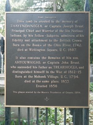
1. Tomb of THAYENDANEGEA Marker
This tomb is erected to the memory of THAYENDANEGEA , or Captain Joseph Brant, Principal Chief and Warrior of the Six Nations Indians, by his Fellow-Subjects, admirers of his fidelity and attachment to the British Crown. Born on the Banks of the Ohio River, 1742; died at Wellington Square, U.C., 1807.
It also contains the Remains of his son, AHYOUWAIGHS, or Captain John Brant, who succeeded his Father as, TRKARIHOGEA, and distinguished himself in the War of 1812-15. Born at the Mohawk Village, U.C., 1794; died the same place, 1833.
Erected 1850.
Erected 1984 by Masonic Foundation of Ontario.
Topics. This historical marker is listed in these topic lists: Cemeteries & Burial Sites • Indigenous Peoples and Communities. A significant historical year for this entry is 1742.
Location. 43° 7.462′ N, 80° 14.092′ W. Marker is in Brantford, Ontario, in Brant County. It can be reached from Mohawk Street close to Morrison Road, on the left. Touch for map. Marker is at or near this postal address: 301 Mohawk Street, Brantford ON N3S 2X2, Canada. Touch for directions.

Regionally, this marker is
this page online
Other nearby markers. At least 8 other markers are within 3 kilometers of this marker, measured as the crow flies: Her Majesty’s Chapel of the Mohawks (a few steps from this marker); St. Paul’s 1785 H.M. Chapel of the Mohawks / St. Paul’s 1785 Chapelle Royale des Mohawks (within shouting distance of this marker); Mohawk Village (within shouting distance of this marker); Original Canoe Landing for the Mohawk Village (within shouting distance of this marker); The Mohawk Institute (approx. 0.6 kilometers away); John Hicks Whale (approx. 1.6 kilometers away); Rev. Peter Jones (approx. 2.1 kilometers away); Royal Victoria Place (approx. 2.8 kilometers away). Touch for a list and map of all markers in Brantford.
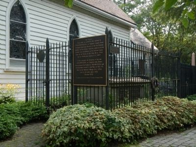
More about this marker. The tomb is on the right side of St. Paul’s,
Photographed by Barry Swackhamer, August 11, 2014
2. Tomb of THAYENDANEGEA Marker
Also see . . . THAYENDANEGEA - Dictionary of Canadian Biography. In the peace negotiations between Great Britain and the United States, Britain completely ignored its Indian allies and transferred sovereignty over all British-claimed land as far west as the Mississippi River to the Americans, even though almost the entire territory was occupied by Indians, who believed they had never relinquished it to the whites. When Brant learned of the treaty’s terms he angrily exclaimed that England had “sold the Indians to Congress.” The indignation of the Six Nations at their betrayal led the British administrators in Quebec to attempt to mollify them by various means. (Submitted on May 25, 2015, by Barry Swackhamer of Brentwood, California.)
Archives of Ontario
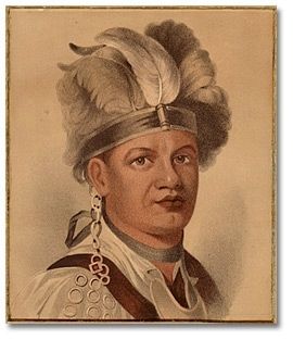
3. Joseph Brant, (Thayendanegea) Chief of the Six Nations
Internet Archive
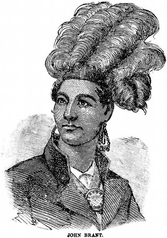
4. John Brant
Ahyouwaighs
Ahyouwaighs
From Harper's Encyclopædia of United States History from 458 A.D. to 1905 by Benson John Lossing and Woodrow Wilson 1905 Vol. 1 Page 397.
Internet Archive
5. The Brant Mausoleum
From Harper's Encyclopædia of United States History from 458 A.D. to 1905 by Benson John Lossing and Woodrow Wilson, 1905, Vol. 1, Page 398.
Credits. This page was last revised on January 17, 2021. It was originally submitted on May 25, 2015, by Barry Swackhamer of Brentwood, California. This page has been viewed 888 times since then and 55 times this year. Photos: 1, 2, 3. submitted on May 25, 2015, by Barry Swackhamer of Brentwood, California. 4, 5. submitted on January 10, 2021, by Allen C. Browne of Silver Spring, Maryland. • Andrew Ruppenstein was the editor who published this page.
