Near Manassas in Prince William County, Virginia — The American South (Mid-Atlantic)
Historic Landscape Restoration
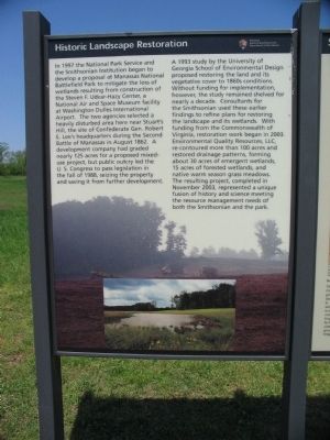
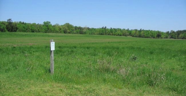
A 1993 study by the University of Georgia School of Environmental Design proposed restoring the land and its vegetative cover to 1860s conditions. Without funding for implementation, however, the study remained shelved for nearly a decade. Consultants for the Smithsonian used these earlier findings to refine plans for restoring the landscape and its wetlands. With funding from the Commonwealth of Virginia, restoration work began in 2003. Environmental Quality Resources, LLC, re-contoured more than 100 acres and restored drainage patters, forming about 30 acres of emergent wetlands, 15 acres of forested wetlands, and native warm season grass meadows. The resultant project, completed in November 2003, represented a unique fusion of history and science meeting the resource management needs of both the Smithsonian and the park.
Erected by Manassas National Battlefield Park - Department of the Interior.
Topics. This historical marker is listed in this topic list: Environment. A significant historical month for this entry is November 2003.
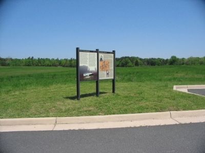
Location. 38° 48.242′ N, 77° 33.125′ W. Marker is near Manassas, Virginia, in Prince William County. Marker is on William Center Boulevard, on the right when traveling west. Located in the picnic area parking lot in the Manassas Battlefield National Park. Touch for map. Marker is in this post office area: Manassas VA 20109, United States of America. Touch for directions.
Other nearby markers. At least 8 other markers are within walking distance of this marker. Second Battle of Manassas (here, next to this marker); Brownsville (approx. ¼ mile away); Confederate Counterattack (approx. 0.6 miles away); Battery Heights (approx. 0.6 miles away); Manassas National Battelfield Park (approx. 0.6 miles away); 10th New York Vol. Infantry (approx. 0.6 miles away); "The Very Vortex of Hell" (approx. 0.6 miles away); a different marker also named Battery Heights (approx. 0.6 miles away). Touch for a list and map of all markers in Manassas.
More about this marker. The background of the marker includes photographs of the landscape restoration process.
Also see . . . Smithsonian Team Restores Manassas National Battlefield Park Wetlands. Details of the project. The original commercial development work from the 1980s had significantly altered the landscape, including the introduction of concrete drainage lines. The restoration project undid much of this and sought to even rebuild flattened elevations. (Submitted on June 17, 2008, by Craig Swain of Leesburg, Virginia.)
Credits. This page was last revised on June 16, 2016. It was originally submitted on June 17, 2008, by Craig Swain of Leesburg, Virginia. This page has been viewed 1,102 times since then and 6 times this year. Photos: 1, 2, 3. submitted on June 17, 2008, by Craig Swain of Leesburg, Virginia.


