Northshore in Chattanooga in Hamilton County, Tennessee — The American South (East South Central)
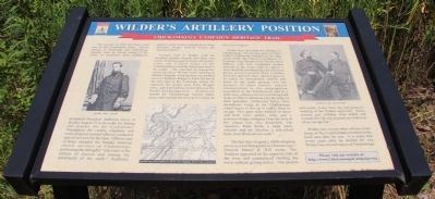
Wilder's Artillery Position
— Chickamauga Campaign Heritage Trail —
The summer of 1863 had been a bad one for the Confederate cause. Severe defeats at Vicksburg and Gettysburg, together with the forced retreat of the Army of Tennessee from Tullahoma prompted President Jefferson Davis to declare August 21 to be a day for fasting and prayers for the Confederacy. Throughout the camps, chaplains and some religious minded officers conducted special services for the men. Officers and civilians attended the Sunday morning church services in Chattanooga, petitioning the Almighty "who rules in the armies of heaven and among the inhabitants of the earth." Suddenly, artillery shells began crashing down from Stringer's Ridge, directly across the Tennessee River.
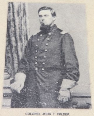
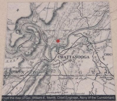
Colonel John T. Wilder with his mounted infantry brigade had been sent north of Chattanooga to create a diversion, while the Federal Army of the Cumberland crossed the Tennessee well to the south. "We marched up Sequachee valley ten miles" Wilder wrote "and found Hazen's brigade. Passing them we pushed on over Walden's Ridge to Poe's Tavern at the east foot of the mountain, where we captured the picket post from Bragg's army, and marched two miles down to the North Chickamauga river ... At dawn we started for Chattanooga, twelve miles away, and reached the river at 9 o'clock on the 21st of August."
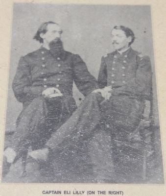
Wilder then described the shelling of Chattanooga. "We put four guns of Lilly's battery (Eighteenth Indiana) on the ridge on the north side of the river as Major J.A. Connoly, One Hundred and Twenty-third Illinois, with four companies dashed forward to the river's edge to capture a ferry boat that was bringing a lot of battery horses across to pasture them. A battery from the opposite shore opened upon us, to which we immediately replied, and some of our shells passing over the parapet of their battery caused consternation to the congregation assembled in the Presbyterian church a mile away, where a service was being held in favor of the Confederacy by the order of their president, [Jefferson] Davis. Two steamboats lying at the Chattanooga wharf began to fire up to enable them to escape. Two guns were trained on them and both were quickly sunk, and a pontoon bridge swinging from the foot of the island was also destroyed. The steamers, Paint Rock, a large stern-wheeler and the Dunbar, a side-wheel boat, were the boats we sunk."
"On fast day (August), while religious services were being held in Chattanooga," General Daniel H. Hill wrote, "the Yankees appeared on the opposite side of the river and commenced shelling the town without giving notice. Our pickets and scouts, if any were out, had given no warning of the Yankee approach. Some women and children were killed and wounded by the not unusual act of
atrocity of our savage foe."
Wilder, like several other officers in the Army of The Cumberland remained in the local area after the war. It is ironic that seven years after he shelled the city, Wilder was elected mayor of Chattanooga.
Erected by Chickamauga Campaign Heritage Trail.
Topics. This historical marker is listed in this topic list: War, US Civil. A significant historical year for this entry is 1863.
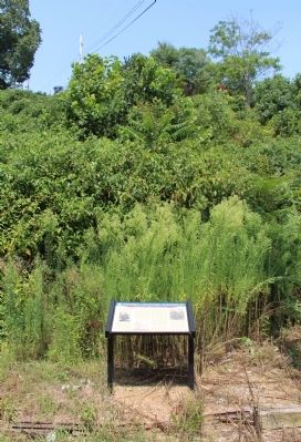
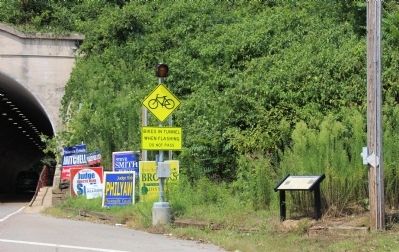
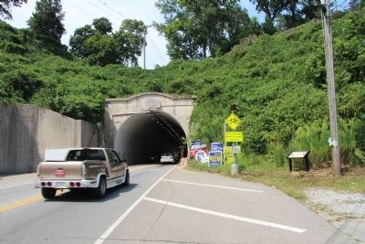
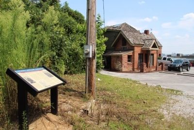
Location. 35° 4.383′ N, 85° 19.132′ W. Marker is in Chattanooga, Tennessee, in Hamilton County. It is in Northshore. Marker is on Cherokee Boulevard (Tennessee Route 8) north of Old Bell Avenue, on the right when traveling north. Although located inside of the city limits of Chattanooga, this marker is situated on the north side of the Tennessee River, on the southeast side of the roadway tunnel, going through Stringer's Ridge. Touch for map. Marker is at or near this postal address: 901 Cherokee Boulevard, Chattanooga TN 37405, United States of America. Touch for directions.
Other nearby markers. At least 8 other markers are within one mile of this marker, measured as the crow flies. Union Army Hospital (approx. 0.8 miles away); Hill Overlooks & Industrial Past (approx. 0.9 miles away); 1864 Military Bridge (approx. one mile away); Union Block House (approx. one mile away); Camp Contraband (approx. one mile away); United States Colored Troops
(approx. one mile away); Coolidge Riverside Park / Charles H. Coolidge Medal of Honor Citation (approx. one mile away); Occupied Chattanooga (approx. one mile away). Touch for a list and map of all markers in Chattanooga.
Credits. This page was last revised on February 7, 2023. It was originally submitted on June 8, 2015, by Dale K. Benington of Toledo, Ohio. This page has been viewed 636 times since then and 38 times this year. Photos: 1, 2, 3, 4, 5, 6, 7, 8. submitted on June 9, 2015, by Dale K. Benington of Toledo, Ohio.
