Near Cherokee in Colbert County, Alabama — The American South (East South Central)
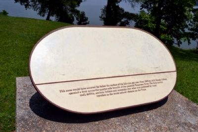
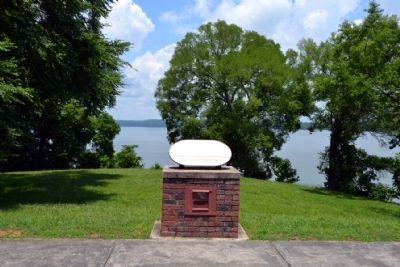
Colbert Ferry
Erected by National Park Service.
Topics and series. This historical marker is listed in these topic lists: Roads & Vehicles • Waterways & Vessels. In addition, it is included in the Natchez Trace series list. A significant historical year for this entry is 1802.
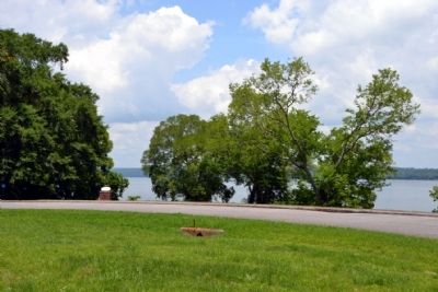
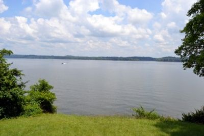
Location. 34° 50.277′ N, 87° 56.536′ W. Marker is near Cherokee, Alabama, in Colbert County. Marker can be reached from Natchez Trace Parkway (at milepost 327.3), one mile north of N. Pike (County Road 21). Marker is located at the Colbert Ferry Park at the end of the Park Road that travels east from the restroom facilities. Touch for map. Marker is in this post office area: Cherokee AL 35616, United States of America. Touch for directions.
Other nearby markers. At least 8 other markers are within walking distance of this marker. Safe Crossing (here, next to this marker); George Colbert Memorial (approx. 0.2 miles away); Colbert's Stand (approx. 0.2 miles away); Welcome! (approx. 0.2 miles away); Wet, Wild, and Wonderful (approx. 0.2 miles away); A Chickasaw Planter (approx. 0.2 miles away); Chickasaw Hospitality (approx. ¼ mile away); Trace Travelers (approx. 0.4 miles away). Touch for a list and map of all markers in Cherokee.
More about this marker. The drawing on the marker has faded by time and elements. See the "Also See ..." section below for a website link to a photograph of the marker in 2001 that shows the marker’s drawing.
Also see . . . Natchez Trace. Official National Park Service website. (Submitted on June 25, 2015.)
Credits. This page was last revised on March 24, 2020. It was originally submitted on June 25, 2015, by Duane Hall of Abilene, Texas. This page has been viewed 1,015 times since then and 60 times this year. Photos: 1, 2, 3, 4. submitted on June 25, 2015, by Duane Hall of Abilene, Texas.


