Raymond in Hinds County, Mississippi — The American South (East South Central)
A Battle Unfolds
Photographed by Duane Hall, June 5, 2015
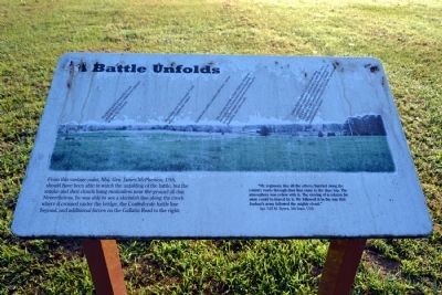
1. A Battle Unfolds Marker
“My regiment, like all the others, hurried along the country roads through dust that came to the shoe top. The atmosphere was yellow with it. The moving of a column far away could be traced by it. We followed it in the way that Joshua’s army followed the mighty cloud.”
Sgt. S.H.M. Byers, 5th Iowa, USA
(Image captions from left-to-right, west-to-east)
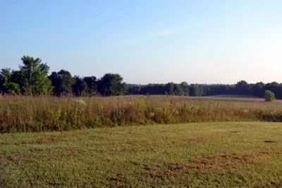
The bend in Fourteenmile Creek against which the Confederates planned to push the Federals.
The bridge over Fourteenmile Creek where Confederates waited.
Confederate artillery position with three cannon.
The concrete portion of State Highway 18 follows the route of the Union army toward Raymond from its overnight encampment around Roach’s plantation, nine miles south.
Gallatin
this page online
Topics. This historical marker is listed in this topic list: War, US Civil.
Location. 32° 13.971′ N, 90° 27.086′ W. Marker is in Raymond, Mississippi, in Hinds County. It can be reached from State Highway 18 0.1 miles south of Cidero Road, on the right when traveling south. Marker is located in a section of the Raymond Military Park known as McPherson's Ridge that is detached from the main part of the park; the above directions are to the parking area for this section of the park. Touch for map. Marker is in this post office area: Raymond MS 39154, United States of America. Touch for directions.

Regionally, this marker is in Natchez Trace Corridor and in Greater Jackson. It is also in the American South and specifically in the Deep South. Globally, it is in North America, a Gulf of Mexico state, the
Photographed by Duane Hall, June 5, 2015
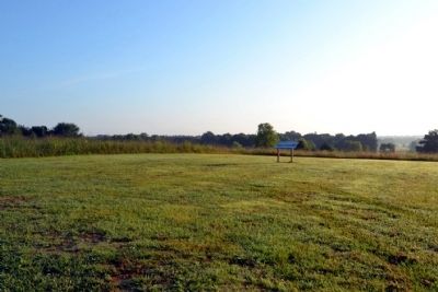
2. A Battle Unfolds Marker
Other nearby markers. At least 8 other markers are within walking distance of this marker: U.S. Battery D, 1st Illinois Light Artillery (approx. half a mile away); Battle Plans (approx. half a mile away); Field Artillery (approx. half a mile away); U.S. Second Brigade; (approx. half a mile away); U.S. 11th Battery, Ohio Light Artillery (approx. half a mile away); U.S. Seventh Division; (approx. half a mile away); U.S. 8th Battery, Michigan Light Artillery (approx. half a mile away); U.S. First Brigade; (approx. half a mile away). Touch for a list and map of all markers in Raymond.
Also see . . . Friends of Raymond. Official website of the Friends of Raymond with detailed information on the Battle of Raymond and the preservation of the battlefield. (Submitted on July 3, 2015.)
Photographed by Duane Hall, June 5, 2015
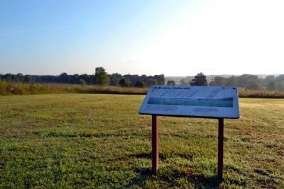
3. View to Northeast from the Marker
Photographed by Duane Hall, June 5, 2015
4. View Towards the Bend in Fourteenmile Creek
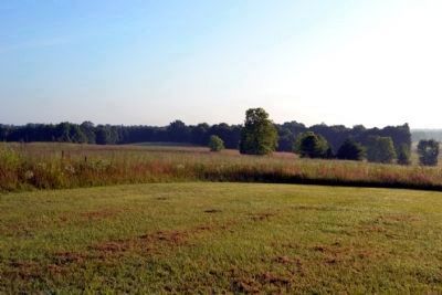
Photographed by Duane Hall, June 5, 2015
5. View Towards Fourteenmile Creek Bridge and Confederate Artillery Position
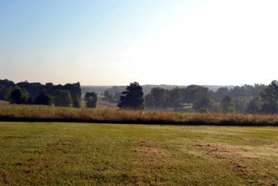
Photographed by Duane Hall, June 5, 2015
6. View Towards State Highway 18 and Gallatin Road
Credits. This page was last revised on June 16, 2016. It was originally submitted on July 3, 2015, by Duane Hall of Abilene, Texas. This page has been viewed 609 times since then and 30 times this year. Photos: 1, 2, 3, 4, 5, 6. submitted on July 3, 2015, by Duane Hall of Abilene, Texas.
