Raymond in Hinds County, Mississippi — The American South (East South Central)
U.S. 8th Battery, Michigan Light Artillery
Photographed by Duane Hall, June 5, 2015
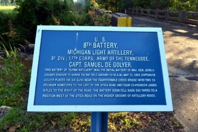
1. U.S. 8th Battery, Michigan Light Artillery Marker
Michigan Light Artillery;
3d Div.; 17th Corps; Army of the Tennessee.
Capt. Samuel De Golyer.
This battery of “flying artillery” was the initial battery of Maj. Gen. John A. Logan’s division to arrive on the field around 10:30 a.m., May 12, 1863. Captain De Golyer placed his six guns near the Fourteenmile Creek bridge with two 12-pounder howitzers to the left of the Utica Road and four 12-pounder James rifles to the right of the road. The battery soon fell back 260 yards to a position west of the Utica Road on the higher ground of Artillery Ridge.
Topics. This historical marker is listed in this topic list: War, US Civil. A significant historical month for this entry is May 1865.
Location. 32° 14.446′ N, 90° 26.719′ W. Marker is in Raymond, Mississippi, in Hinds County. It can be reached from Port Gibson Street 0.1 miles Mississippi Highway 18, on the left when traveling north. Marker is located in the main part of the Raymond Military Park; the above directions are to the parking area for the park. Touch for map. Marker is in this post office area: Raymond MS 39154, United States of America.
this page online

Regionally, this marker is in Natchez Trace Corridor and in Greater Jackson. It is also in the American South and specifically in the Deep South. Globally, it is in North America, a Gulf of Mexico state, the Western Hemisphere, the Western World, and the Anglosphere. Historically, it finds itself in what was once the territory of the Mississippian Culture, one of the Confederate States of America, and the Antebellum South.
Other nearby markers. At least 8 other markers are within walking distance of this marker: McPherson's Deployment (here, next to this marker); DeGolyer's Battery and the Artist's Eye (a few steps from this marker); Eyewitnesses in the Storm (within shouting distance of this marker); Battle of Raymond (within shouting distance of this marker); King of Battle (about 300 feet away, measured in a direct line); A "Soldiers' Battle" in the Underbrush (about 500 feet away); Texas Memorial (approx. 0.2 miles away); U.S. Battery D, 1st Illinois Light Artillery (approx. 0.2 miles away). Touch for a list and map of all markers in Raymond.
More about this marker. Marker is located along
Photographed by Duane Hall, June 5, 2015
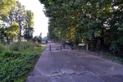
2. Marker on the South Side of Fourteenmile Creek Bridge
Also see . . . Friends of Raymond. Official website of the Friends of Raymond with detailed information on the Battle of Raymond and the preservation of the battlefield. (Submitted on July 5, 2015.)
Photographed by Duane Hall, June 5, 2015
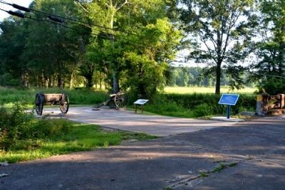
3. McPherson's Deployment and U.S. 8th Battery Markers
Fourteenmile Creek bridge
Photographed by Duane Hall, June 5, 2015
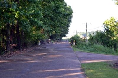
4. North Side of Fourteen Mile Creek Bridge
Photographed by Duane Hall, June 5, 2015
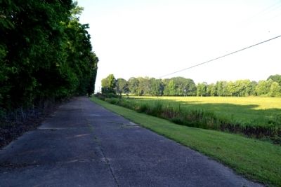
5. Raymond Military Park Walking Trail
Credits. This page was last revised on June 16, 2016. It was originally submitted on July 5, 2015, by Duane Hall of Abilene, Texas. This page has been viewed 444 times since then and 30 times this year. Photos: 1, 2, 3, 4, 5. submitted on July 5, 2015, by Duane Hall of Abilene, Texas.
