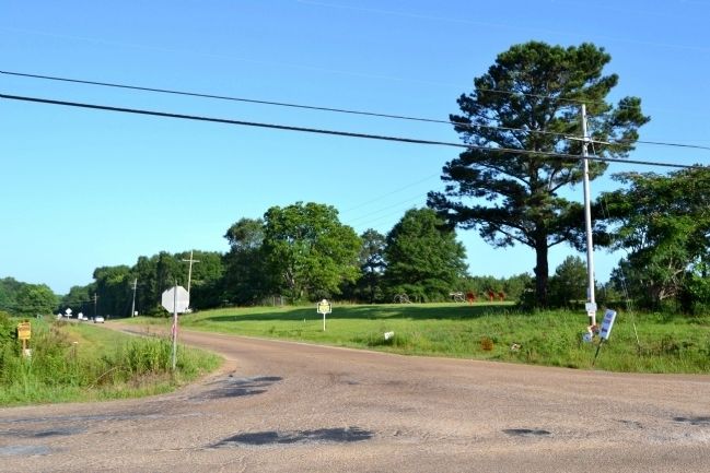
Raymond in Hinds County, Mississippi — The American South (East South Central)
Bledsoe's Battery
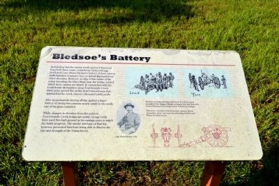
After inconclusively dueling all day against a larger battery of twenty-two cannons nearly a mile to the south, one of the guns exploded.
While changes in elevation from this point to Fourteenmile Creek bridge are subtle, Gregg could have used this high ground as his vantage point to watch the battle progress. The smoke and haze of that day, however, prevented him from being able to discern the size and strength of the Union forces.
(Upper Sketches Caption)
Sketches of loading and firing artillery by Theo Davis, artist-journalist for the Harper’s Weekly newspaper who sketched at the Battle of Raymond and throughout the Vicksburg Campaign.
(Lower Drawing Caption)
This battery consisted of two 12-pounder cannons (typical 12-pounders, below) and a rare breech-loading English-made Whitworth rifled cannon.
Topics. This historical marker is listed in this topic list: War, US Civil. A significant historical month for this entry is May 1932.
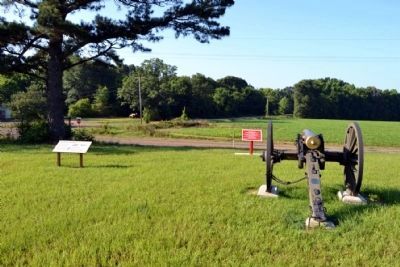
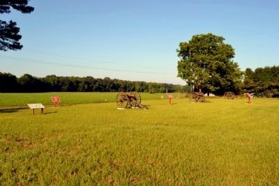
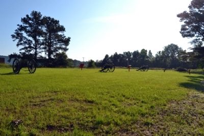
Location. Marker has been reported missing. It was located near 32° 14.856′ N, 90° 26.543′ W. Marker was in Raymond, Mississippi, in Hinds County. Marker could be reached from the intersection of Old Port Gibson Road and Port Gibson Street, on the right when traveling west. Marker is located in a section of the Raymond Military Park known as Bledsoe’s Battery that is detached from the main part of the park. Touch for map. Marker was in this post office area: Raymond MS 39154, United States of America. Touch for directions.
Other nearby markers. At least 8 other markers are within walking distance of this location. C.S. Gregg's Task Force (a few steps from this marker); C.S. Bledsoe's Missouri Battery (3 Guns) (a few steps from this marker); a different marker also named C.S. Gregg's Task Force (a few steps from this marker); To Clinton and Jackson (a few steps from this marker); Artillery Ammunition (within shouting distance of this marker); Whitworth Breechloading Rifle (within shouting distance of this marker); The Campaign Turns East (approx. 0.2 miles away); a different marker also named C.S. Gregg's Task Force (approx. 0.2 miles away). Touch for a list and map of all markers in Raymond.
Also see . . . Friends of Raymond. Official website of the Friends of Raymond with detailed information on the Battle of Raymond and the preservation of the battlefield. (Submitted on July 6, 2015.)
Credits. This page was last revised on August 1, 2021. It was originally submitted on July 6, 2015, by Duane Hall of Abilene, Texas. This page has been viewed 485 times since then and 10 times this year. Photos: 1, 2, 3, 4, 5. submitted on July 6, 2015, by Duane Hall of Abilene, Texas.
