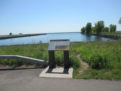
First Ward in Buffalo in Erie County, New York — The American Northeast (Mid-Atlantic)
Development of the Inner Harbor
The Industrial Heritage Trail
Early History
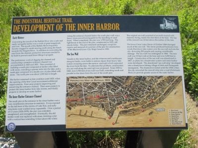
Converting the mouth of the Buffalo River into a safe and easily navigable harbor was a work of great magnitude and cost. The mouth of the Buffalo River frequently became clogged by sands moving north along the beach towards the Niagara River. In addition to excavating the sand from the channel, protective structures needed to be built to prevent sand from filling it up again.
The preliminary work of digging the channel was accomplished in 1820 and 1821. This consisited of building a south pier complosed of timber cribs filled with stone, extending a quarter mile into the lake, and a north pier composed of a double row of piles filled with stone. The north pier was about 1,000 feet in length.
The harbor remained in that condition until 1825, when the opening of the Erie Canal necessitated additional improvements. First came projects improving and rpeserving the entrance channel. Then came projects to protect the inner harbor from lake storms, and finally projects to develop an outer harbor.
The Inner Harbor Entrance Chhanel
The south pier at the entrance to the inner harbor was a very troublesome structure to maintain. It was exposed to the full force of the storms of Lake Erie, and early structures were washed away repreatedly. Over a period of 13 years (1826-1839), the pier was extended, straightened, and strengthened. Eventually, the old timber work was replaced with stone, forming a pier with a vertical face exending 14 feet above the water.
Along the entrance channel below the south pier wall was a heavy stone-paved towing path for the handling of canal boats. When completed, the pier was 1,790 feet long. The lighthouse at the end of th epier, constructed in 1833, still stands today. Th epier remained unchanged, except for repairs and removal of a portion of the pier for construction of the Blackwell (now City Ship) Canal in 1850.
The Sea Wall
Vessels in th einner harbor, and the wharves and warehouses along its banks, were liable to serious injury from heavy lake waters sweeping across its narrow sand-spit which separated the river from the lake. To alleviate this problem, construction of a sea wall along the sand spit was proposed. From 1838 to 1840, over 3,700 feet of sea wall was built, extending south and parallel to the shore from the end of the south pier.
[image] Perspective Map of Buffalo, 1902. 1. Erie Canal; 2. Commercial Slip; 3. Inner Harbor; 4. North Pier; 5. South Pier; 6. Sea Wall; 7. City Ship Canal; 8. Outer Harbor.
The original sea wall consisted of an earth mound with masonry facing, nearly five feet thick at the base. The top of the mound was 14 feet above the surface of the
lake.
The lower Great Lakes Storm of October 1844 damaged much of the sea wall. The storm produced hurricane force winds that drove lake waters over the sea wall and into the city, drowning 20 people and causing considerable damage. The sea wall was redesigned in 1866. The new wall was 18 feet wide at the base and over 4,000 feet in length. Construction of the sea wall was abandoned in 1867, as plans for a breakwater system and outer harbor were developed. Th eabandoned 'sea wall strip' developed into a shantytown fishing village of Irish and Portuguese immigrants. The shantytown lasted until the 1930s when the city converted the seawall strip into a raod (Fuhrmann Blvd.) to provide greated access to the outer harbor.
Topics. This historical marker is listed in these topic lists: Charity & Public Work • Environment • Man-Made Features • Waterways & Vessels. A significant historical year for this entry is 1820.
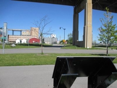
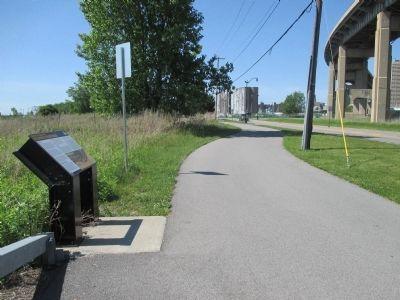
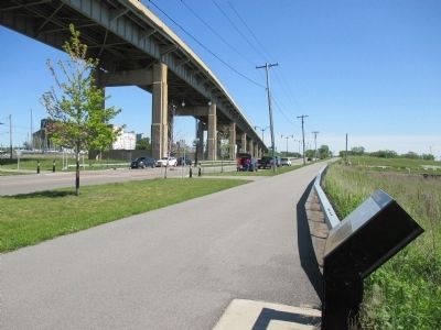
Location. 42° 52.182′ N, 78° 52.758′ W. Marker is in Buffalo, New York, in Erie County. It is in the First Ward. Marker is at the intersection of Fuhrmann Boulevard and South Michigan Avenue, on the left when traveling north on Fuhrmann Boulevard. Marker is north of The Skyway (NY Route 5) exit for Fuhrmann Boulevard. South Michigan Avenue is a dead end at the marker due to no bridge over the west channel of the Buffalo River. Touch for map. Marker is in this post office area: Buffalo NY 14203, United States of America. Touch for directions.
Other nearby markers. At least 8 other markers are within walking distance of this marker. General Mills and Great Northern Elevators (approx. 0.2 miles away); Marble Ruins (approx. 0.2 miles away); Joncaire Trading Post (approx. ¼ mile away); The Connecting Terminal and General Mills Elevators (approx. 0.4 miles away); History of Times Beach (approx. 0.4 miles away); Times Beach Nature Preserve (approx. 0.4 miles away); The Connecting Terminal Elevator (approx. 0.4 miles away); The French Connection (approx. 0.4 miles away). Touch for a list and map of all markers in Buffalo.
Related markers. Click here for a list of markers that are related to this marker. South Pier and 1833 Buffalo Lighthouse markers.
Credits. This page was last revised on February 16, 2023. It was originally submitted on July 12, 2015, by Anton Schwarzmueller of Wilson, New York. This page has been viewed 359 times since then and 24 times this year. Photos: 1, 2, 3, 4, 5. submitted on July 12, 2015, by Anton Schwarzmueller of Wilson, New York.
