Near Orla in Reeves County, Texas — The American South (West South Central)
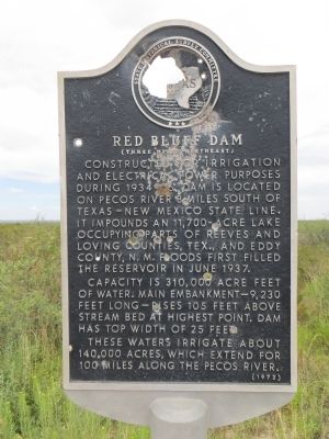
Red Bluff Dam
(Three miles northeast)
Photographed by Bill Kirchner, July 10, 2015
1. Red Bluff Dam Marker
Capacity is 310,000 acre feet of water. Main embankment — 9,230 feet long — rises 105 feet above stream bed at highest point. Dam has top width of 25 feet.
These waters irrigate about 140,000 acres, which extend for 100 miles along the Pecos River.
Erected 1972 by State Historical Survey Committee. (Marker Number 4216.)
Topics. This historical marker is listed in these topic lists: Industry & Commerce • Man-Made Features • Waterways & Vessels. A significant historical month for this entry is June 1937.
Location. 31° 51.483′ N, 103° 55.96′ W. Marker is near Orla, Texas, in Reeves County. It is on U.S. 285 2.7 miles north of Ranch to Market Road 652, on the right when traveling north. Touch for map. Marker is in this post office area: Orla TX 79770, United States of America. Touch for directions.

Regionally,
this page online
Other nearby markers. At least one other marker is within 7 miles of this marker, measured as the crow flies: Pope's Crossing (approx. 7 miles away).
Photographed by Bill Kirchner, July 10, 2015
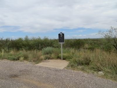
2. Red Bluff Dam Marker
Photographed by Bill Kirchner, July 10, 2015
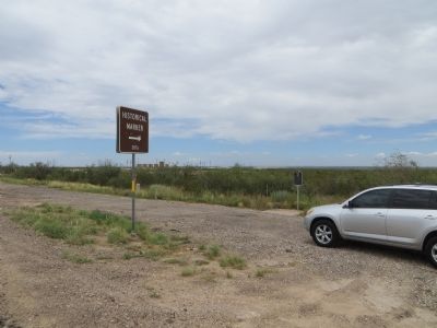
3. Red Bluff Dam Marker
Marker is in front of car. Brown highway sign points to this marker but, marker number 3876 is for "Orla" marker (2.7 mi south) that is missing.

Photographed by Jimmy Emerson, May 24, 2026
4. Red Bluff Dam Marker
Even more damage than the 2015 picture
Credits. This page was last revised on May 31, 2026. It was originally submitted on July 15, 2015, by Bill Kirchner of Tucson, Arizona. This page has been viewed 2,856 times since then and 201 times this year. Photos: 1, 2, 3. submitted on July 15, 2015, by Bill Kirchner of Tucson, Arizona. 4. submitted on May 31, 2026, by Jimmy Emerson of Dalton, Georgia. • Bernard Fisher was the editor who published this page.
Editor’s want-list for this marker. Photo of the Red Bluff Dam. • Can you help?
