Near Stowe in Lamoille County, Vermont — The American Northeast (New England)
Smugglers Notch
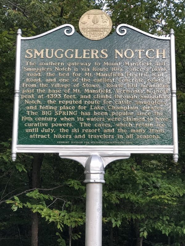
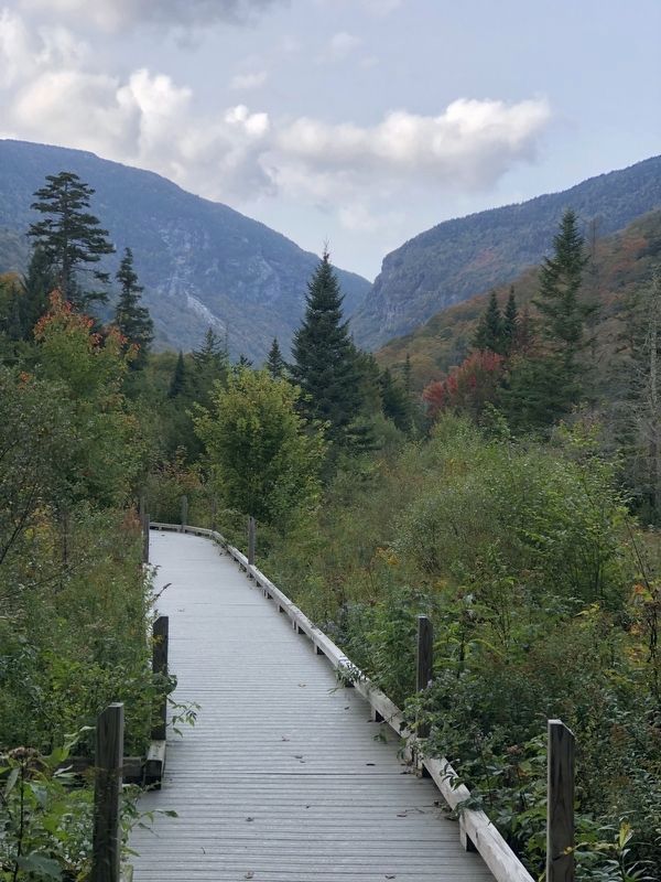
The southern gateway to Mount Mansfield and Smugglers Notch is via Route 100, once a plank road, the bed for Mt. Mansfield Electric Rail Road, and one of the earliest concrete roads. From the village of Stowe, Route 108 meanders past the base of Mt. Mansfield, Vermont’s highest peak at 4393 feet, and climbs through Smugglers Notch, the reputed route for cattle smugglers and hiding place for Lake Champlain pirates. The Big Spring has been popular since the 19th century when its waters were claimed to have curative powers. The caves, which retain ice until July, the ski resort and the many trails attract hikers and travelers in all seasons.
Erected 2005 by Vermont Division for Historic Preservation.
Topics. This historical marker is listed in these topic lists: Natural Features • Roads & Vehicles.
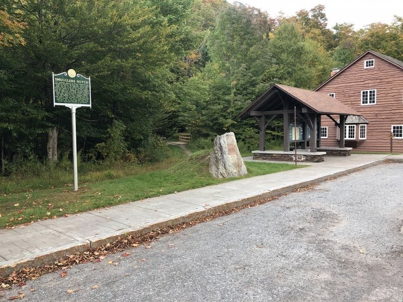
Location. 44° 26.152′ N, 72° 42.656′ W. Marker is near Stowe, Vermont, in Lamoille County. Marker is on Mountain Road (Vermont Route 108) 7˝ miles north of Vermont Route 100, on the right when traveling north. Touch for map. Marker is in this post office area: Stowe VT 05672, United States of America. Touch for directions.
Other nearby markers. At least 8 other markers are within 11 miles of this marker, measured as the crow flies. Waterbury Center Methodist Church (approx. 3.8 miles away); Dr. Henry Janes (approx. 7.1 miles away); Vermont State Hospital (approx. 7.4 miles away); Mount Mansfield Natural Area (approx. 8.3 miles away); Noyes House Museum (approx. 10.3 miles away); District No. 5 Schoolhouse (approx. 10.4 miles away); Morrisville Depot (approx. 10˝ miles away); The Long Trail (approx. 10.7 miles away).
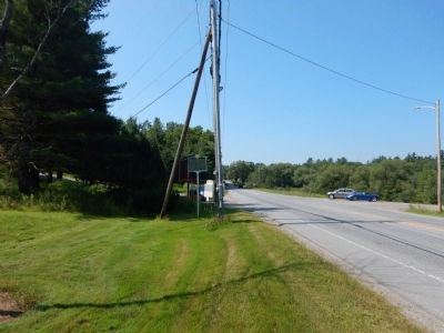
More about this marker. Previous location of marker: 44° 26.152′ N, 72° 42.656′ W. Marker was near Stowe, Vermont, in Lamoille County. Marker was at the intersection of Waterbury Road (Vermont Route 100) and Moscow Road.
Also see . . . Wikipedia - Smugglers Notch. (Submitted on July 16, 2015, by Kevin Craft of Bedford, Quebec.)
Credits. This page was last revised on October 7, 2023. It was originally submitted on July 16, 2015, by Kevin Craft of Bedford, Quebec. This page has been viewed 546 times since then and 34 times this year. Photos: 1, 2, 3. submitted on October 5, 2023, by Kevin Craft of Bedford, Quebec. 4. submitted on July 16, 2015, by Kevin Craft of Bedford, Quebec. • Bill Pfingsten was the editor who published this page.


