Slatington in Lehigh County, Pennsylvania — The American Northeast (Mid-Atlantic)
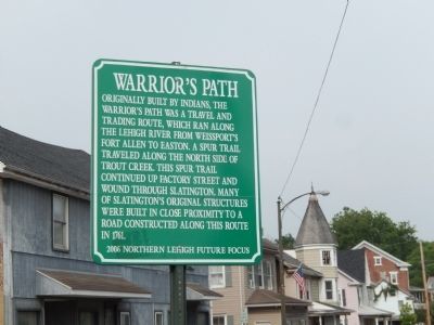
Warrior’s Path
Erected 2006 by Northern Lehigh Future Focus.
Topics. This historical marker is listed in these topic lists: Colonial Era • Native Americans • Settlements & Settlers. A significant historical year for this entry is 1761.
Location. 40° 45.143′ N, 75° 36.477′ W. Marker is in Slatington, Pennsylvania, in Lehigh County. Marker is on Main Street. Touch for map. Marker is in this post office area: Slatington PA 18080, United States of America. Touch for directions.
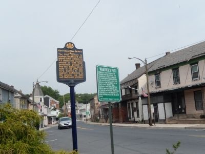
Other nearby markers. At least 8 other markers are within walking distance of this marker. First School Slate Factory (a few steps from this marker); George Kern Home (within shouting distance of this marker); John Kern Barn (about 600 feet away, measured in a direct line); Truckers Mill (about 700 feet away); Kern Settlers (approx. 0.2 miles away); Lehigh Valley Railroad Station (approx. 0.2 miles away); Slate Industry (approx. 0.2 miles away); Neff House Hotel (approx. 0.3 miles away). Touch for a list and map of all markers in Slatington.
Credits. This page was last revised on June 16, 2016. It was originally submitted on July 17, 2015, by Don Morfe of Baltimore, Maryland. This page has been viewed 510 times since then and 39 times this year. Photos: 1, 2. submitted on July 17, 2015, by Don Morfe of Baltimore, Maryland. • Bill Pfingsten was the editor who published this page.

