Fort Hunter History
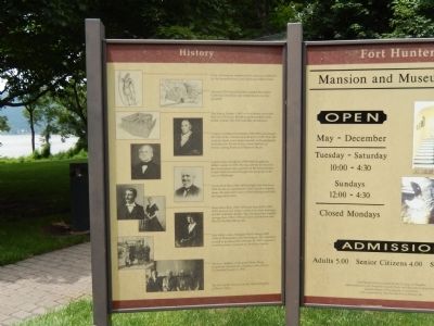
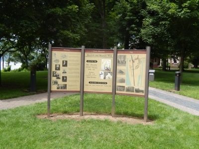
*Around 1750 Samuel Hunter married the widow Catherine Chambers and settled here to run her gristmill.
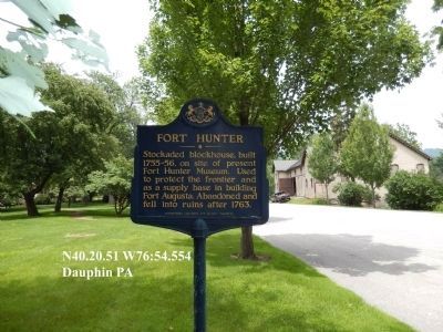
*The Fort at Hunterís Mill or Fort Hunter was built here in 1755 by the British to protect settlers from Indian attacks. The Fort was later abandoned.
*Captain Archibald McAllister (1756-1831) purchased the land of the old mill and old fort in 1787. Over the years he made many improvements to his plantation including the Tavern House, Stone Stables, ice houses, spring house and Mansion House.
*Captain John McAllister (1790-1866) bought his fatherís estate in 1833. He was actively involved in the construction and operation of the Pennsylvania Canal which traveled through this property on its way to Pittsburgh.
* Daniel Dick Boas (1816-1878) bought Fort Hunter in 1870 for use as a gentlemanís farm and as a summer home. He renovated many of the buildings and built the large dairy barn.
*Helen Boas Reily (1861-1932) and John Reily (1860-1927) lived on her fatherís estate from their marriage in 1887 until their deaths. They increased the original acreage from 150 to 1500 and were well known and liked in the Harrisburg area.
*Mrs. Reilyís niece, Margaret Wister Meigs (1882-1958) of Philadelphia and Washington DC inherited
as well as purchased Fort Hunter in 1933 to preserve it and to create a museum of American History. * The four children of Margaret Wister Meigs generously donated the property to the citizens of Dauphin County in 1980. The Fort Hunter District is on the National Register of Historic Places.
Erected by Dauphin County.
Topics. This historical marker is listed in these topic lists: Colonial Era • Forts and Castles • Industry & Commerce • War, French and Indian. A significant historical year for this entry is 1750.
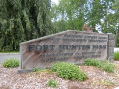
Location. 40° 20.516′ N, 76° 54.585′ W. Marker is near Harrisburg, Pennsylvania, in Dauphin County. It is in Susquehanna Township. Marker is on River Road. The marker is on the grounds of Fort Hunter Park. Touch for map. Marker is at or near this postal address: 35 N Front St, Harrisburg PA 17110, United States of America. Touch for directions.
Other nearby markers. At least 8 other markers are within one mile of this marker, measured as the crow flies. Slavery at Fort Hunter (a few steps from this marker); United States Slavery (within shouting distance of this marker); Pennsylvania Slavery (within shouting distance of this marker); Fort Hunter (within shouting distance of this marker); Simon Girty (1741Ė1818) (within shouting distance of this marker); Rockville Bridge (approx. ľ
Credits. This page was last revised on February 7, 2023. It was originally submitted on July 22, 2015, by Don Morfe of Baltimore, Maryland. This page has been viewed 621 times since then and 64 times this year. Photos: 1, 2, 3, 4, 5, 6. submitted on July 22, 2015, by Don Morfe of Baltimore, Maryland. • Bill Pfingsten was the editor who published this page.
