Solebury Township near New Hope in Bucks County, Pennsylvania — The American Northeast (Mid-Atlantic)
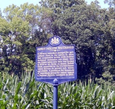
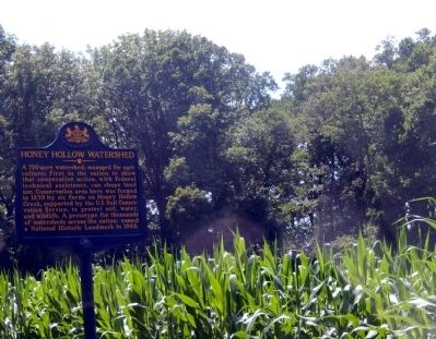
Honey Hollow Watershed
Erected 1997 by Pennsylvania Historical & Museum Commission.
Topics and series. This historical marker is listed in these topic lists: Agriculture • Environment. In addition, it is included in the Pennsylvania Historical and Museum Commission series list. A significant historical year for this entry is 1939.
Location. 40° 22.365′ N, 75° 0.98′ W. Marker is near New Hope, Pennsylvania, in Bucks County. It is in Solebury Township. Marker is on Upper York Road (Pennsylvania Route 263). The marker is located in Solebury Twp. Touch for map. Marker is at or near this postal address: 6355 Upper York Rd, New Hope PA 18938, United States of America. Touch for directions.
Other nearby markers. At least 8 other markers are within 2 miles of this marker, measured as the crow flies. A different marker also named Honey Hollow Watershed (approx. 0.3 miles away); a different marker also named Honey Hollow Watershed (approx. 0.4 miles away); The Shops (approx. 1.9 miles away); Samuel D. Ingham (approx. 1.9 miles away); Cock 'n Bull Restaurant (approx. 1.9 miles away); Golden Plough Inn (approx. 1.9 miles away); The Jamisons (approx. 1.9 miles away); The Waterway (approx. 1.9 miles away). Touch for a list and map of all markers in New Hope.
Credits. This page was last revised on February 7, 2023. It was originally submitted on July 24, 2015, by Don Morfe of Baltimore, Maryland. This page has been viewed 381 times since then and 13 times this year. Photos: 1, 2. submitted on July 24, 2015, by Don Morfe of Baltimore, Maryland. • Bill Pfingsten was the editor who published this page.

