Robeline in Natchitoches Parish, Louisiana — The American South (West South Central)
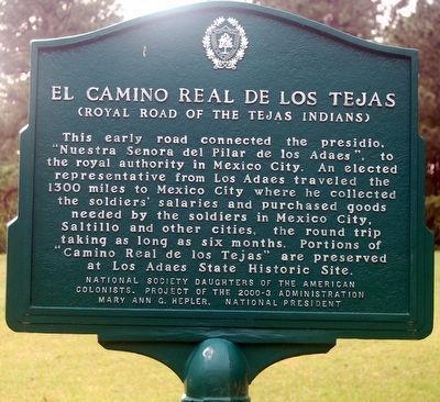
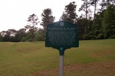
El Camino Real de los Tejas
(Royal Road of the Tejas Indians)
Erected 2000 by National Society Daughters of the American Colonists. Project 2000-3 Administration Mary Ann G. Helper, National President.
Topics and series. This historical marker is listed in these topic lists: Colonial Era • Exploration • Roads & Vehicles. In addition, it is included in the Daughters of the American Colonists, and the El Camino Real de los Tejas National Historic Trail series lists. A significant historical year for this entry is 1300.
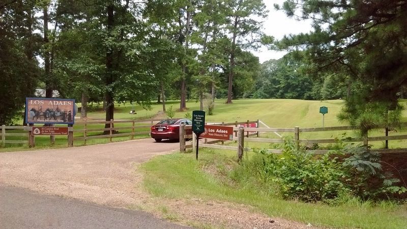
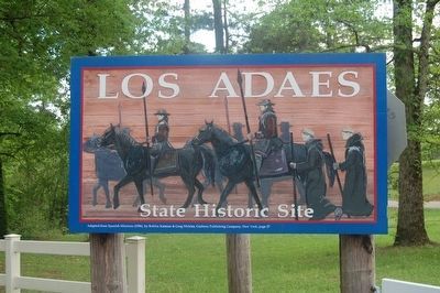
Location. 31° 42.541′ N, 93° 17.538′ W. Marker is in Robeline, Louisiana, in Natchitoches Parish. Marker is on State Highway 485, one mile north of Natchitoches Hwy. (Route 6), on the left when traveling north. Located in the Los Adaes State Historical site. Touch for map. Marker is at or near this postal address: 6354 Hwy 485, Robeline LA 71469, United States of America. Touch for directions.
Other nearby markers. At least 8 other markers are within 10 miles of this marker, measured as the crow flies. The Presidio Nuestra Senora del Pilar de los Adais (about 300 feet away, measured in a direct line); Los Adais (about 500 feet away); El Camino Real (approx. half a mile away); Los Adaes (approx. half a mile away); William Hodge Barnhill (approx. 8.3 miles away); Grave of Unknown Confederate Soldier (approx. 8.4 miles away); In Honor and Memory of our Veterans (approx. 9.3 miles away); a different marker also named El Camino Real (approx. 9.3 miles away). Touch for a list and map of all markers in Robeline.
Credits. This page was last revised on April 29, 2022. It was originally submitted on August 7, 2015. This page has been viewed 490 times since then and 14 times this year. Photos: 1, 2. submitted on August 7, 2015, by Cajun Scrambler of Assumption, Louisiana. 3. submitted on July 26, 2017, by Tom Bosse of Jefferson City, Tennessee. 4, 5, 6. submitted on August 7, 2015. • Bill Pfingsten was the editor who published this page.
