Fredericksburg, Virginia — The American South (Mid-Atlantic)
Confederates on the Ridge
The Battle of Fredericksburg
— Fredericksburg and Spotsylvania National Military Park —
"What chance had flesh and blood to carry by storm such a position, garrisoned too as it was with veteran soldiers? Not one chance in a million."
Alexander Hunter,
17th Virginia Infantry.
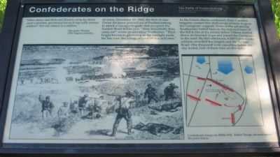
At noon, December 13, 1862, the first of nine Union divisions poured out of Fredericksburg to attack a Georgia brigade that occupied the Sunken Road below you. "How beautifully they came on!" wrote an admiring Southerner. "Their bright bayonets glistening in the sunlight made the line look like a huge serpent of blue and steel."
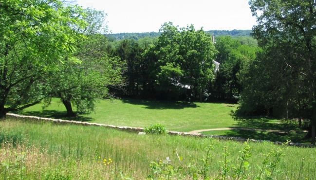
As the Union attacks continued, three Carolina brigades crossed this shell-swept plateau to go to the Georgians' support. Some of the advancing Southerners halted here on the exposed brow of the hill to fire at the enemy below. Others dashed down its forward slope and joined the Georgians in the road. By mid-afternoon, 6,000 Confederate soldiers crowded the heights and the Sunken Road. One thousand were casualties before the day ended, half of them here on this ridge.
Erected by National Park Service, U.S. Department of the Interior.
Topics. This historical marker is listed in this topic list: War, US Civil. A significant historical month for this entry is December 1797.
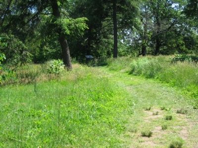
Location. This marker has been replaced by another marker nearby. It was located near 38° 17.711′ N, 77° 28.133′ W. Marker was in Fredericksburg, Virginia. Marker could be reached from Sunken Road, 0.1 miles north of Lafayette Boulevard (Virginia Highway 1), on the right when traveling south. Located on the Marye's Heights walking trail, which starts at the Fredericksburg battlefield visitor center. The Sunken Road is closed to vehicle traffic. Touch for map. Marker was in this post office area: Fredericksburg VA 22401, United States of America. Touch for directions.
Other nearby markers. At least 8 other markers are within walking distance of this location. Confederates on the Heights (here, next to this marker); The Confederate Line (within shouting distance of this marker); Thomas R. R. Cobb (within shouting distance of this marker); Cobb (within shouting distance of this marker); Mrs. Martha Stevens (within shouting distance of this marker); The Union Attacks Begin (within shouting distance of this marker); The Stephens House (within shouting distance of this marker); Stephens Family Cemetery (within shouting distance of this marker). Touch for a list and map of all markers in Fredericksburg.
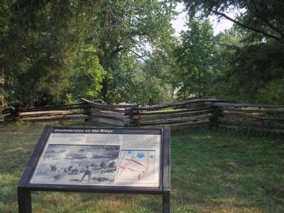
More about this marker. On the lower left is a sketch of Confederate troops on Willis Hill. Union Troops advance across the plain below. To the right is a map detailing the troop movements discussed in the marker's text.
Related marker. Click here for another marker that is related to this marker. This marker has been replaced with the linked marker.
Credits. This page was last revised on March 5, 2023. It was originally submitted on June 30, 2008, by Craig Swain of Leesburg, Virginia. This page has been viewed 1,810 times since then and 45 times this year. Photos: 1, 2. submitted on June 30, 2008, by Craig Swain of Leesburg, Virginia. 3. submitted on August 30, 2008, by Bill Coughlin of Woodland Park, New Jersey. 4. submitted on June 30, 2008, by Craig Swain of Leesburg, Virginia.


