Natchez in Adams County, Mississippi — The American South (East South Central)
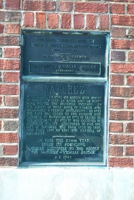
Natchez
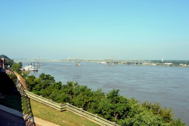
In this, the 224th year since its founding, Natchez dedicates to the people the Natchez – Vidalia Bridge.
A.D. 1940
Erected 1940.
Topics. This historical marker is listed in these topic lists: Colonial Era • Forts and Castles • Native Americans • Settlements & Settlers. A significant historical year for this entry is 1543.
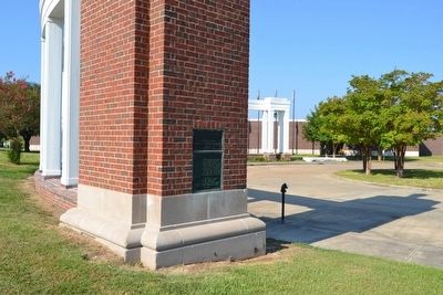
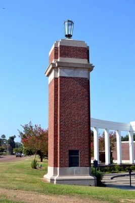
Location. 31° 33.309′ N, 91° 24.671′ W. Marker is in Natchez, Mississippi, in Adams County. Marker can be reached from S. Canal Street, 0.2 miles north of John R. Judkin Drive (U.S. 84), on the left when traveling north. Marker is located near the rear (north) entrance to the Natchez Visitor Reception Center. Touch for map. Marker is at or near this postal address: 640 S Canal St, Natchez MS 39120, United States of America. Touch for directions.
Other nearby markers. At least 8 other markers are within walking distance of this marker. The European Struggle for Control (within shouting distance of this marker); The French in North America (within shouting distance of this marker); The Introduction of Slavery in the Natchez District (within shouting distance of this marker); The Natchez People (within shouting distance of this marker); Bridging the Mississippi (within shouting distance of this marker); Natchez National Historical Park (within shouting distance of this marker); The French Build a Fort and a Colony (about 600 feet away, measured in a direct line); French Retaliation & the Second Fort Rosalie (about 600 feet away). Touch for a list and map of all markers in Natchez.
Additional commentary.
1. Identical Marker in Louisiana
An identical marker and pillar is located in Vidalia, Louisiana near the west end of the Natchez-Vidalia Bridge.
— Submitted August 14, 2015.
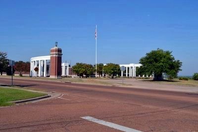
Photographed By Duane Hall, August 4, 2015
4. Former Toll Booth of Natchez-Vidalia Bridge
Credits. This page was last revised on September 24, 2020. It was originally submitted on August 14, 2015, by Duane Hall of Abilene, Texas. This page has been viewed 439 times since then and 21 times this year. Photos: 1, 2, 3, 4, 5. submitted on August 14, 2015, by Duane Hall of Abilene, Texas.
