Highlands/Perkins in Baton Rouge in East Baton Rouge Parish, Louisiana — The American South (West South Central)
LSU Campus Mounds
Photographed by Cajun Scrambler
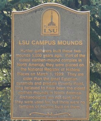
1. LSU Campus Mounds Marker
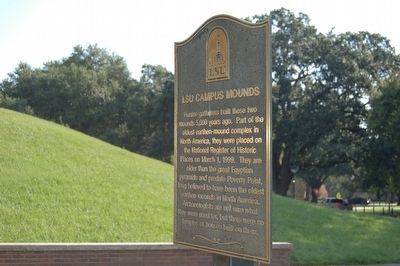
Hunter-gatherers built these two mounds 5,000 years ago. Part of the oldest earthen-mound complex in North America,they were placed on the National Register of Historic Places on March 1, 1999. They are older than the Egyptian pyramids, and predate Poverty Point, long believed to have been the oldest earthen mounds in North America. Archaeologists are not sure what they were used for, but there were no temples or houses built on them.
Erected by Louisiana State University.
Topics. This historical marker is listed in these topic lists: Anthropology & Archaeology • Indigenous Peoples and Communities • Settlements & Settlers. A significant historical date for this entry is March 1, 1999.
Location. Marker has been reported permanently removed. It was located near 30° 24.908′ N, 91° 10.932′ W. Marker was in Baton Rouge, Louisiana, in East Baton Rouge Parish. It was in Highlands/Perkins. It could be reached from Field House Drive 0.1 miles north of North Stadium Drive, on the right when traveling north. Touch for map. Marker was in this post office area: Baton Rouge LA 70802, United States of America.
We have been informed
this page online
Regionally, this marker was in Louisiana’s Florida Parishes. It was also in the American South, specifically in the Deep South, and in the Great River Road Region. Globally, it was in North America, a Gulf of Mexico state, the Western Hemisphere, the Western World, and the Anglosphere. Historically, it found itself in what was once New Spain, the territory of the Mississippian Culture, the Louisiana Purchase, one of the Confederate States of America, and the Antebellum South.

Other nearby markers. At least 8 other markers are within walking distance of this location: A different marker also named LSU Campus Mounds (a few steps from this marker); LSU Campus Mounds (16EBR6) (a few steps from this marker); a different marker also named LSU Campus Mounds (within shouting distance of this marker); a different marker also named LSU Campus Mounds (within shouting distance of this marker); Indian Mounds (within shouting distance of this marker); Simon Bolivar Oak (about 400 feet away, measured in a direct line); The Tiger Walk at Victory Hill
Photographed by Cajun Scrambler, August 14, 2015
2. LSU Campus Mounds Marker
More about this marker. This marker removed and replaced with new marker, same location
August 14, 2015
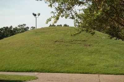
3. LSU Campus Mounds
August 14, 2015
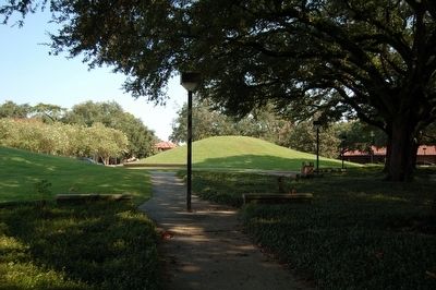
4. LSU Campus Mounds
Credits. This page was last revised on April 6, 2024. It was originally submitted on August 15, 2015. This page has been viewed 741 times since then and 51 times this year. Photos: 1, 2, 3, 4. submitted on August 15, 2015. • Bernard Fisher was the editor who published this page.
