Natchez in Adams County, Mississippi — The American South (East South Central)
Origin of the Natchez Trace
Photographed by Duane Hall, August 4, 2015
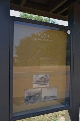
1. Origin of the Natchez Trace Marker
Returning home, boatmen followed a series of Indian trails from Natchez to Nashville—trails which evolved into the Natchez Trace.
After the United States acquired Natchez in 1798, the Government decided to clear a road between the newly-created Mississippi Territory and the State of Tennessee as an important communication link between the national capital and the Old Southwest.
Erected by National Park Service, U.S. Department of the Interior.
Topics and series. This historical marker is listed in these topic lists: Indigenous Peoples and Communities • Roads & Vehicles. In addition, it is included in the Natchez Trace series list. A significant historical year for this entry is 1798.
Location. 31° 32.865′ N, 91° 21.932′ W. Marker is in Natchez, Mississippi, in Adams County. It is on Lissie Street ¼ mile north of Liberty Road, on the right when traveling north. Marker is at the southern entrance to the Natchez Trace Parkway. Touch for map. Marker is in this post office area: Natchez MS 39120, United States of America. Touch for directions.

Regionally, this marker is in Southwest Mississippi and in Natchez Trace Corridor. It is also in the American South, specifically in the Deep South, and in the Great River Road Region. Globally, it is in North America, a Gulf of Mexico state, the Western Hemisphere, the Western World, and the Anglosphere. Historically, it finds itself in what was once New Spain, the Viceroyalty of New France, the territory of the Mississippian Culture, one of the Confederate States of America, and the Antebellum South.
Other nearby markers. At least 8 other markers are within 2 miles of this marker, measured
this page online
Also see . . . Natchez Trace Parkway. Official National Park Service website. (Submitted on August 15, 2015.)
Photographed by Duane Hall, August 4, 2015
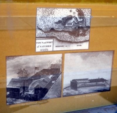
2. Natchez in the 1790's, Fort Nashborough (Nashville) (restoration), and Flatboat of the Western Water
Photographed by Duane Hall, August 4, 2015
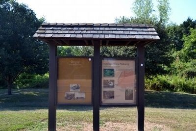
3. Origin of the Natchez Trace Marker
Photographed by Duane Hall, August 4, 2015
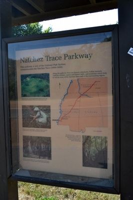
4. Accompanying Interpretive Sign on
Natchez Trace Parkway
Natchez Trace Parkway
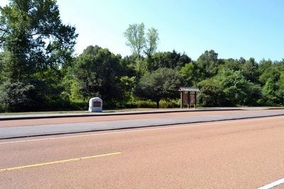
Photographed by Duane Hall, August 4, 2015
5. Origin of the Natchez Trace Marker
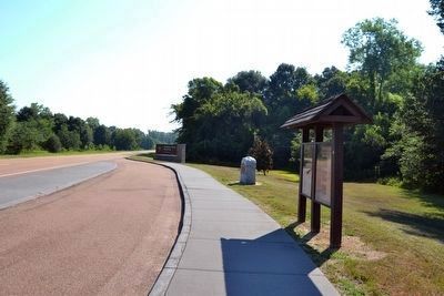
Photographed by Duane Hall, August 4, 2015
6. Marker at Entrance to Natchez Trace Parkway
Credits. This page was last revised on June 11, 2020. It was originally submitted on August 15, 2015, by Duane Hall of Abilene, Texas. This page has been viewed 736 times since then and 41 times this year. Photos: 1, 2, 3, 4, 5, 6. submitted on August 15, 2015, by Duane Hall of Abilene, Texas.
