Near Manassas in Prince William County, Virginia — The American South (Mid-Atlantic)
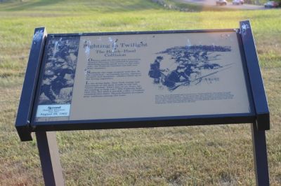
Fighting in Twilight
The Hatch-Hood Collision
— Second Battle of Manassas - Day Two - August 29, 1862 —
Officers said the Rebels were retreating. Hatch’s Division was ordered to pursue. Marching double-quick west on the turnpike, the Federals reached this hill just after sundown.
Suddenly the ridge erupted with fire. In the confusion—screaming horses, showers of earth and shrapnel—soldiers lined up in the wrong regiments.
In the dying light, New York troops saw movement in the dark woods to the left. Voices shouted “Don’t fire on us, boys, we are coming to help you!” The Federals held their fire, but then a terrible volley of bullets smacked into them. Muzzle-flashes revealed gray uniforms among the trees.
(sidebar) Maj. Gen. Irving McDowell said in loud tones, “General Hatch, the enemy is in full retreat. Pursue him rapidly!” At the same time, two miles west, Confederate Maj. Gen. James Longstreeet had ordered Hood’s Division to make a reconnaissance along the turnpike. The two forces collided here. Though darkness prevented any decisive action, the engagement had great significance. Longstreet and the other half of the Confederate Army had arrived on the field.
Topics. This historical marker is listed in this topic list: War, US Civil.
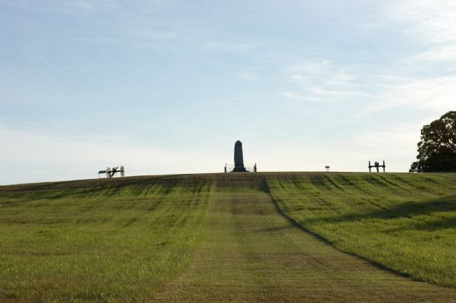
Location. This marker has been replaced by another marker nearby. 38° 48.769′ N, 77° 32.774′ W. Marker is near Manassas, Virginia, in Prince William County. Marker can be reached from Lee Highway - formerly Warrenton Turnpike (U.S. 29) east of Groveton Road, on the right when traveling east. It is in the Manassas National Battlefield Park. Marker is at the 14th Brooklyn Monument. There is a parking lot at this monument. You must show your $3 per person park pass if requested, and you can buy your pass at a honor-system post-mounted box at the parking lot for the Groveton Confederate Cemetery across the highway, or at the visitor’s center on Sudley Road. Touch for map. Marker is in this post office area: Manassas VA 20109, United States of America. Touch for directions.
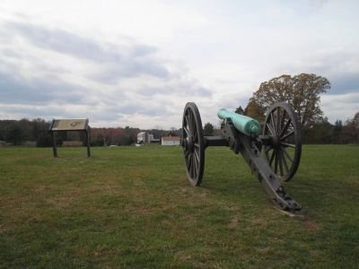
Other nearby markers. At least 10 other markers are within walking distance of this location. Twilight Clash (here, next to this marker); Brooklyn Fourteenth (a few steps from this marker); Federal Artillery Position (within shouting distance of this marker); Groveton Confederate Cemetery (about 300 feet away, measured in a direct line); Manassas National Battlefield Park (about 400 feet away); a different marker also named Groveton Confederate Cemetery (about 400 feet away); Groveton (about 400 feet away); New York Monuments (about 400 feet away); Monument To The Confederate Dead (about 400 feet away); a different marker also named Manassas National Battlefield Park (about 400 feet away). Touch for a list and map of all markers in Manassas.
More about this marker. This marker was replaced by a new one named Twilight Clash (see nearby markers).
Also see . . . Battle of Groveton. Shotgun's Home of the American Civil War website entry (Submitted on September 23, 2022, by Larry Gertner of New York, New York.)
Credits. This page was last revised on September 23, 2022. It was originally submitted on February 25, 2007, by Tom Fuchs of Greenbelt, Maryland. This page has been viewed 1,829 times since then and 15 times this year. Photos: 1. submitted on February 25, 2007, by Tom Fuchs of Greenbelt, Maryland. 2. submitted on November 25, 2010, by Bill Coughlin of Woodland Park, New Jersey. 3. submitted on February 25, 2007, by Tom Fuchs of Greenbelt, Maryland. • J. J. Prats was the editor who published this page.


