Gering in Scotts Bluff County, Nebraska — The American Midwest (Upper Plains)
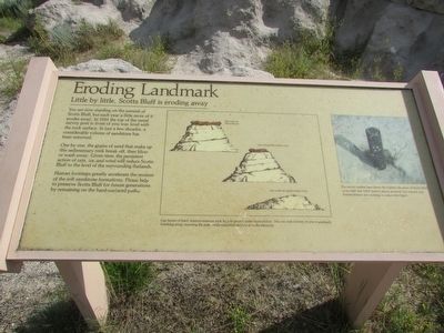
Eroding Landmark
Little by little, Scotts Bluff is eroding away
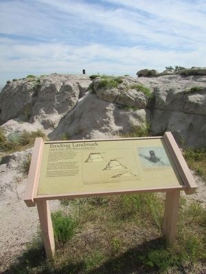
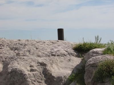
You are now standing on the summit of Scotts Bluff, but each year a little more of it erodes away. In 1933 the top of the metal survey post in front of you was level with the rock surface. In just a few decades, a considerable volume of sandstone has been removed.
One by one, the grains of sand that make up this sedimentary rock break off, then blow or wash away. Given time, the persistent action of rain, ice, and wind will reduce Scotts Bluff to the level of the surrounding flatlands.
Human footsteps greatly accelerate the erosion of the soft sandstone formations. Please help to preserve Scotts Bluff for future generations by remaining on the hard-surfaced paths.
Erected by National Park Service.
Topics. This historical marker is listed in this topic list: Natural Features. A significant historical year for this entry is 1933.
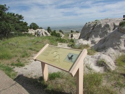
Location. 41° 50.285′ N, 103° 41.925′ W. Marker is in Gering, Nebraska, in Scotts Bluff County. Marker can be reached from Old Oregon Trail, on the right when traveling west. Marker is located in Scotts Bluff National Monument, along the North Overlook Trail at the summit of the bluff. Touch for map. Marker is in this post office area: Gering NE 69341, United States of America. Touch for directions.
Other nearby markers. At least 8 other markers are within walking distance of this marker. Scott Memorial (within shouting distance of this marker); Saddle Rock Trail (within shouting distance of this marker); A Landmark for the Ages (about 500 feet away, measured in a direct line); The Way West (about 700 feet away); The River Route (about 700 feet away); Remnant Highlands (approx. 0.2 miles away); A Landscape Changed Forever (approx. ¼ mile away); Before the Wagons (approx. ¼ mile away). Touch for a list and map of all markers in Gering.
More about this marker. An illustration at the center of the marker shows the process of erosion of the bluffs. It has a caption of “Cap layers of hard, erosion-resistant rock help to protect softer layers below. The cap rock in front of you is gradually breaking away, exposing the pale, easily-crumbled sandstone to the elements.” A photograph on the right side of the marker includes the caption, “The survey marker here shows the highest elevation of Scotts Bluff to be 4649 feet (1417 meters) above sea level, but natural and human erosion are working to reduce that figure.”
Credits. This page was last revised on June 16, 2016. It was originally submitted on August 17, 2015, by Bill Coughlin of Woodland Park, New Jersey. This page has been viewed 535 times since then and 16 times this year. Photos: 1, 2, 3, 4, 5. submitted on August 17, 2015, by Bill Coughlin of Woodland Park, New Jersey.
