
Bayard in Morrill County, Nebraska — The American Midwest (Upper Plains)
Chimney Rock Cemetery
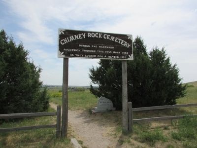
Photographed By Bill Coughlin, August 3, 2015
1. Chimney Rock Cemetery Marker
Topics. This historical marker is listed in these topic lists: Cemeteries & Burial Sites • Settlements & Settlers.
Location. 41° 41.948′ N, 103° 20.467′ W. Marker is in Bayard, Nebraska, in Morrill County. Marker is on County Route 98, on the left when traveling west. Touch for map. Marker is in this post office area: Bayard NE 69334, United States of America. Touch for directions.
Other nearby markers. At least 8 other markers are within 10 miles of this marker, measured as the crow flies. Mary Murray Murdoch (here, next to this marker); Chimney Rock National Historic Site (approx. half a mile away); The Innocent Assassins (approx. half a mile away); Chimney Rock Station (approx. 1½ miles away); Chimney Rock (approx. 1½ miles away); The Oregon Trail (approx. 1½ miles away); The Mormon Pioneer Trail / Halfway To Zion (approx. 3.2 miles away); Camp Clarke Bridge and Sidney-Black Hills Trail (approx. 9.1 miles away). Touch for a list and map of all markers in Bayard.
this page online
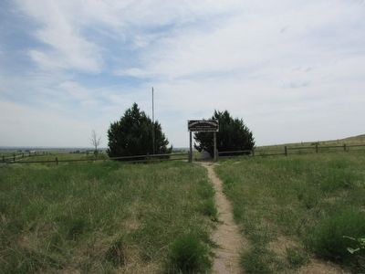
Photographed By Bill Coughlin, August 3, 2015
2. Chimney Rock Cemetery Marker
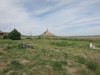
Photographed By Bill Coughlin, August 3, 2015
3. Chimney Rock Cemetery Marker
The back of the marker can be seen on the left side of he photo. Chimney Rock is visible in the distance.
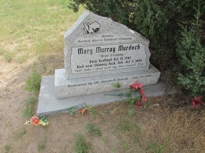
Photographed By Bill Coughlin, August 3, 2015
4. Grave in Chimney Rock Cemetery
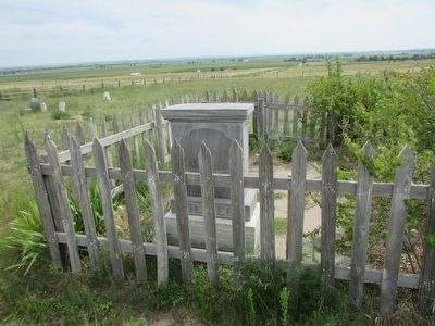
Photographed By Bill Coughlin, August 3, 2014
5. Chimney Rock Cemetery
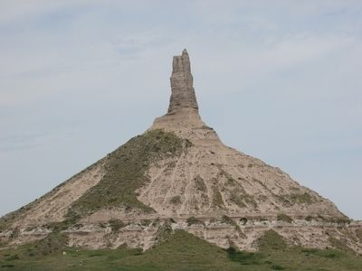
Photographed By Bill Coughlin, August 3, 2015
6. Chimney Rock seen from the Cemetery
Chimney Rock was a landmark passed by thousands of emigrants as the traveled the nearby Oregon, California and Mormon Trails.
Credits. This page was last revised on November 30, 2021. It was originally submitted on August 17, 2015, by Bill Coughlin of Woodland Park, New Jersey. This page has been viewed 1,330 times since then and 56 times this year. Photos: 1, 2, 3, 4, 5, 6. submitted on August 17, 2015, by Bill Coughlin of Woodland Park, New Jersey.

