Near Canton in Madison County, Mississippi — The American South (East South Central)
Choctaw Boundary
(Left Panel)
Doaks Stand
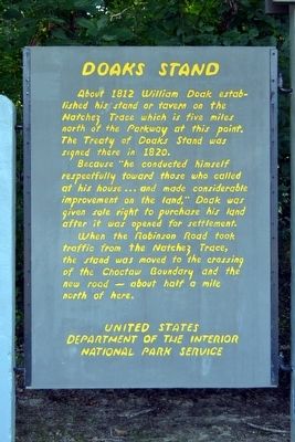
About 1812 William Doak established his stand or tavern on the Natchez Trace which is five miles north of the Parkway at this point. The Treaty of Doaks Stand was signed there in 1820.
Because “he conducted himself respectfully toward those who called at his house ... and made considerable improvement on the land,” Doak was given sole right to purchase his land after it was opened for settlement.
When the Robinson Road took traffic from the Natchez Trace, the stand was moved to the crossing of the Choctaw Boundary and the new road – about a half a mile north of here.
(Right Panel)
Indian Treaty
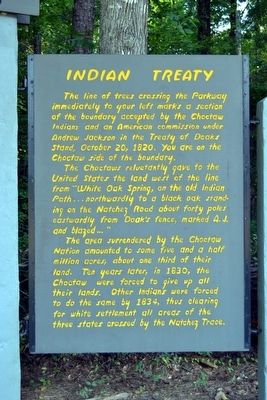
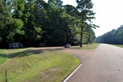
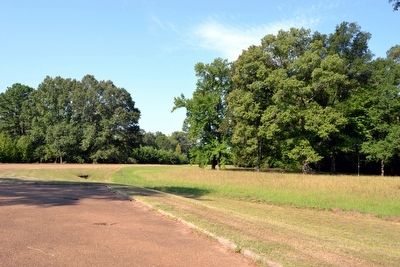
The line of trees crossing the Parkway immediately to your left marks a section of the boundary accepted by the Choctaw Indians and an American commission under Andrew Jackson in the Treaty of Doaks Stand, October 20, 1820. You are on the Choctaw side of the boundary.
The Choctaws reluctantly gave to the United States the land west of the line from “White Oak Spring, on the old Indian Path ... northwardly to a black oak standing on the Natchez Road about forty poles eastwardly from Doak’s fence, marked A.J. and blazed ...”
The area surrendered by the Choctaw Nation amounted to some five and half million acres, about one third of their land. Ten years later, in 1830, the Choctaw were forced to give up all their lands. Other Indians were forced to do the same by 1834, thus clearing for white settlement all areas of the three states crossed by the Natchez Trace.
Erected by National Park Service.
Topics and series. This historical marker is listed in these topic lists: Government & Politics • Industry & Commerce • Native Americans • Roads & Vehicles. In addition, it is included in the Natchez Trace series list. A significant historical date for this entry is October 20, 1820.
Location. 32° 38.575′ N, 89° 47.786′ W. Marker is near Canton, Mississippi, in Madison County. Marker is on Natchez Trace Parkway (at milepost 128.4), 6.6 miles south of Mississippi Highway 16, on the left when traveling north. Touch for map. Marker is in this post office area: Canton MS 39046, United States of America. Touch for directions.
Other nearby markers. At least 8 other markers are within 15 miles of this marker, measured as the crow flies. Southern Pines (a few steps from this marker); Pearl River (approx. 5˝ miles away); Tupelo–Baldcypress Swamp (approx. 6.1 miles away); Robinson Road (approx. 7 miles away); Forest Grove Presbyterian Church (approx. 7.8 miles away); Red Dog Road (approx. 10.9 miles away); Natchez Trace at Madisonville (approx. 13.3 miles away); Branch School (approx. 14.8 miles away). Touch for a list and map of all markers in Canton.
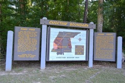
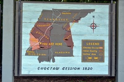
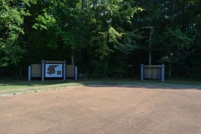
More about this marker. The marker consists of three panels: a left panel on Doaks Stand, a center panel with a map titled Choctaw Cession 1820, and a right panel on Indian Treaty.
Also see . . .
1. Natchez Trace Parkway. Official National Park Service website. (Submitted on August 21, 2015.)
2. Treaty of Doak's Stand - Wikipedia entry. (Submitted on August 21, 2015.)
Credits. This page was last revised on June 16, 2016. It was originally submitted on August 21, 2015, by Duane Hall of Abilene, Texas. This page has been viewed 745 times since then and 67 times this year. Photos: 1, 2, 3, 4, 5, 6, 7. submitted on August 21, 2015, by Duane Hall of Abilene, Texas.
