Menominee in Menominee County, Michigan — The American Midwest (Great Lakes)
Chapee Rapids
Inscription.
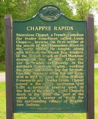
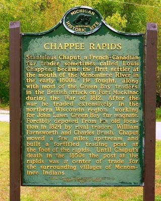
Stanislaus Chaput, a French-Canadian fur trader sometimes called Louis Chappee, became the first settler at the mouth of the Menominee River in the early 1800s. He fought, along with most of the Green Bay traders, in the British attack on Fort Mackinac during the War of 1812. After the war he traded extensively in the northern Wisconsin region, working for John Lawe, Green Bay fur magnate. Forcibly deposed from his old location in 1824 by rival traders William Farnsworth and Charles Brush, Chaput moved a few miles upstream and built a fortified trading post at the foot of the rapids. Until Chaput's death in the 1850s the post at the rapids was a center of trade for the surrounding villages of Menominee Indians.
Erected 1971 by Michigan Historical Commission. (Marker Number S0343.)
Topics and series. This historical marker is listed in these topic lists: Forts and Castles • Native Americans • Settlements & Settlers • Waterways & Vessels. In addition, it is included in the Michigan Historical Commission series list. A significant historical year for this entry is 1800.
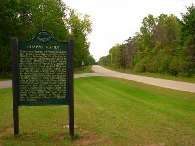
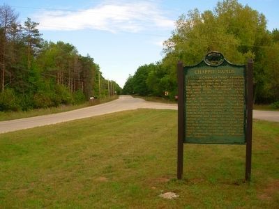
Location. 45° 9.26′ N, 87° 42.046′ W. Marker is in Menominee, Michigan, in Menominee County. Marker is on River Road West, on the left when traveling north . Marker is located in a turn out about 4 miles north of Menominee. Touch for map. Marker is in this post office area: Menominee MI 49858, United States of America. Touch for directions.
Other nearby markers. At least 8 other markers are within 5 miles of this marker, measured as the crow flies. Queen Marinette (approx. 4.7 miles away in Wisconsin); Bay de Nocquet Trail (approx. 4.8 miles away); Isaac Stephenson (approx. 4.9 miles away in Wisconsin); Milwaukee Road Depot (approx. 4.9 miles away in Wisconsin); Evancheck Cabin (approx. 5 miles away in Wisconsin); Menominee River (approx. 5 miles away in Wisconsin); 10,000 Board Feet of Logs (approx. 5 miles away in Wisconsin); John Hubley (approx. 5 miles away in Wisconsin).
Credits. This page was last revised on June 16, 2016. It was originally submitted on September 21, 2015, by Paul Fehrenbach of Germantown, Wisconsin. This page has been viewed 511 times since then and 43 times this year. Photos: 1, 2, 3, 4. submitted on September 21, 2015, by Paul Fehrenbach of Germantown, Wisconsin. • Andrew Ruppenstein was the editor who published this page.


