Hopkinsville in Christian County, Kentucky — The American South (East South Central)
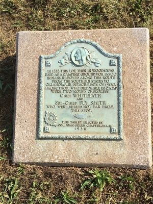
Trail of Tears Indian Camping Grounds
Photographed by Mark Hilton, September 1, 2015
1. Trail of Tears Indian Camping Grounds Marker
used as camping grounds for 13,500
Indians removed along this route
from the southern states to
Oklahoma, in detachments of 1500.
Among those who died in camp
were two noted Cherokees
Chief WHITEPATH
and
Sub-Chief FLY SMITH
who were buried not far from
this spot.
Erected 1938 by Col. John Green Chapter, D.A.R.
Topics and series. This historical marker is listed in these topic lists: Colonial Era • Indigenous Peoples and Communities. In addition, it is included in the Daughters of the American Revolution (DAR), and the Trail of Tears series lists. A significant historical year for this entry is 1838.
Location. 36° 51.235′ N, 87° 28.504′ W. Marker is in Hopkinsville, Kentucky, in Christian County. It is at the intersection of East 9th Street (U.S. 41) and Lovella Lane, on the right when traveling west on East 9th Street. Touch for map. Marker is at or near this postal address: East 9th Street, Hopkinsville KY 42240, United States of America. Touch for directions.

Regionally, this marker is in the American Midwest, in the South, and specifically in the Upper
this page online
Other nearby markers. At least 8 other markers are within walking distance of this marker: The Trail of Tears (here, next to this marker); Mourning at Camp (approx. ¼ mile away); A Winter Camp (approx. ¼ mile away); The Cherokee A Civilized People (approx. 0.3 miles away); Whitepath and Fly Smith (approx. 0.3 miles away); Cherokee "Trail of Tears" (approx. 0.3 miles away); The Knight House (approx. 0.7 miles away); Peace Park (approx. 0.9 miles away). Touch for a list and map of all markers in Hopkinsville.
Photographed by Mark Hilton, September 1, 2015
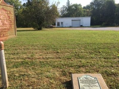
2. Trail of Tears Indian Camping Grounds
Photographed by Mark Hilton, September 1, 2015
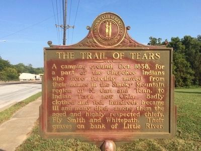
3. Trail of Tears plaque next to this marker.
Photographed by Mark Hilton, September 1, 2015
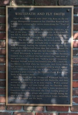
4. Chief Whitepath & Sub-Chief Fly Smith
This tablet located in the nearby Trail of Tears park.
Credits. This page was last revised on October 21, 2020. It was originally submitted on September 22, 2015, by Mark Hilton of Montgomery, Alabama. This page has been viewed 798 times since then and 27 times this year. Photos: 1, 2, 3, 4. submitted on September 22, 2015, by Mark Hilton of Montgomery, Alabama.
