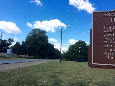
Tendal in Madison Parish, Louisiana — The American South (West South Central)
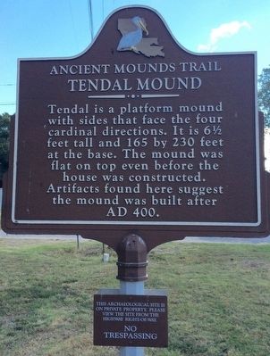
Tendal Mound
Ancient Mounds Trail
Topics and series. This historical marker is listed in these topic lists: Cemeteries & Burial Sites • Native Americans. In addition, it is included in the Louisiana Ancient Mounds Trail series list.
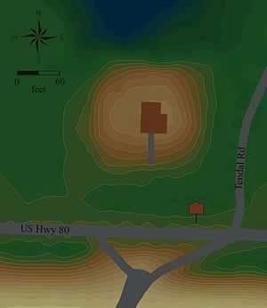
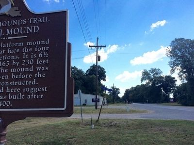
Location. 32° 25.934′ N, 91° 22.08′ W. Marker is in Tendal, Louisiana, in Madison Parish. Marker is at the intersection of U.S. 80 and Tendal North Road, on the right when traveling west on U.S. 80. Touch for map. Marker is in this post office area: Tallulah LA 71282, United States of America. Touch for directions.
Other nearby markers. At least 8 other markers are within 11 miles of this marker, measured as the crow flies. Insley Mounds (approx. 7.1 miles away); Marsden Mounds (approx. 8.1 miles away); Burning of Richmond (approx. 10 miles away); Skirmish at Richmond (approx. 10 miles away); Scottland Plantation House (approx. 10.3 miles away); Schicker Mound (approx. 10˝ miles away); Madison Parish Confederate Monument (approx. 10.7 miles away); Tallulah (approx. 10.7 miles away).
More about this marker.
A smaller marker below this one warns:
Please view the site from the highway right-of-way.
NO
TRESPASSING
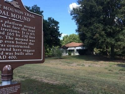
Regarding Tendal Mound. The house atop the mound may be the second to have been built there, and the top of the mound may have been leveled before the structure was built. Local residents say the railroad bed now covers a smaller mound, but no supporting evidence has been found. Only a few artifacts have been collected near the site, which suggests that the surface on which the mound was built has been covered with sediment from flooding.
Also see . . . Indian Mounds of Northeast Louisiana - Tendal Mound. (Submitted on May 31, 2017, by Mark Hilton of Montgomery, Alabama.)
Credits. This page was last revised on May 31, 2017. It was originally submitted on September 25, 2015, by Mark Hilton of Montgomery, Alabama. This page has been viewed 635 times since then and 42 times this year. Photos: 1, 2, 3, 4, 5. submitted on September 25, 2015, by Mark Hilton of Montgomery, Alabama.
