Winooski in Chittenden County, Vermont — The American Northeast (New England)
Native Americans and Winooski
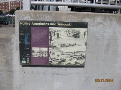
Imagine a time machine taking us back to this spot 500 years ago. We would see a deep, rocky waterfall now hidden under the ponded area behind the Winooski One hydroelectric dam, an extensive forest of small pine trees and small fields of corn, squash and tobacco. Closer examination would reveal traces of smoke rising from the simple wooden huts of a band of Western Abenakis. In the Spring and Summer Abenakis farmed on the rich soil of the Intervale, both above and below the falls, and fished for salmon in the teeming waters of the Winooski. In late Autumn, hunters and their families moved to higher ground in search of moose and deer. With the onset of winter the Abenakis returned to their homes along the Winooski to await the return of Spring.
Caption
We know from early French documents that an Abenaki village called Winooskik existed on the lower Winooski River. The name came from an Indian word meaning "onion river land," because of a leek-type onion that grew on the river's banks. Due to disease and almost constant war between the English and the French the village was abandoned by 1700. Its exact location in unknown. Perhaps some day a developer's backhoe or a gardener's shovel will unearth the site. Echos of this Abenaki heritage remain in the name of the river and city.
(All images courtesy of the Vermont
Topics. This historical marker is listed in these topic lists: Colonial Era • Native Americans.
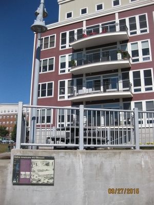
Location. 44° 29.376′ N, 73° 11.03′ W. Marker is in Winooski, Vermont, in Chittenden County. Marker can be reached from the intersection of Winooski Falls Way and Cascade Way. Marker can be found along Riverwalk that begins at end of Cascade Way. Marker is attached to wall alongside River Walk. Touch for map. Marker is in this post office area: Winooski VT 05404, United States of America. Touch for directions.
Other nearby markers. At least 8 other markers are within 2 miles of this marker, measured as the crow flies. Fort Frederick (about 700 feet away, measured in a direct line); Burial Place of General Ethan Allen (approx. 0.4 miles away); Centennial Field (approx. 0.6 miles away); Mary Martha Fletcher (approx. 0.9 miles away); Athletic Park (approx. 0.9 miles away); In Memory of John Lonergan (approx. one mile away); Andrew Harris 1814-1841 (approx. 1.3 miles away); General William Wells / Dr. H. Nelson Jackson (approx. 1.4 miles away).
More about this marker. Nearest address is 60 Winooski Falls Way
Credits. This page was last revised on July 25, 2018. It was originally submitted on September 28, 2015, by Bill Donovan of Maplewood, New Jersey. This page has been viewed 509 times since then and 37 times this year. Photos: 1, 2. submitted on September 28, 2015, by Bill Donovan of Maplewood, New Jersey. • Bill Pfingsten was the editor who published this page.

