Near Manassas in Prince William County, Virginia — The American South (Mid-Atlantic)
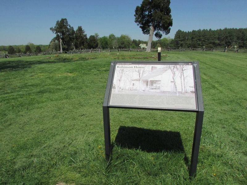
Robinson House
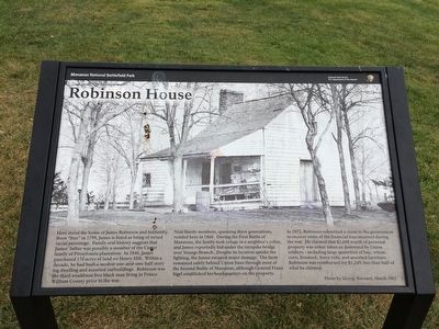
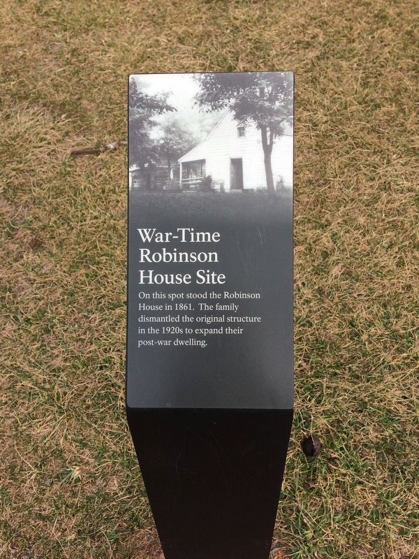
Nine family members, spanning three generations, resided here in 1860. During the First Battle of Manassas, the family took refuge in a neighbor's cellar, and James reportedly hid under the turnpike bridge over Young's Branch. Despite its location amidst the fighting, the house escaped major damage. The farm remained safely behind Union lines through most of the Second Battle of Manassas, although General Franz Sigel established his headquarters on the property.
In 1872, Robinson submitted a claim to the government to recover some of the financial loss incurred during the war. He claimed that $2,608 of personal property was either taken or destroyed by Union soldiers — including large quantities of hay, wheat, corn, livestock, fence rails, and assorted furniture. Robinson was reimbursed for $1,249, less than half of what he claimed.
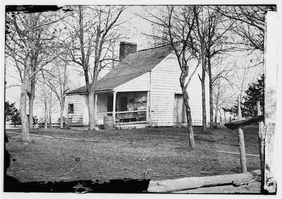
(caption)
Photo by George Barnard, March 1862.
Erected by Manassas National Battlefield, National Park Service, U.S. Department of the Interior.
Topics. This historical marker is listed in these topic lists: African Americans • War, US Civil. A significant historical month for this entry is March 1862.
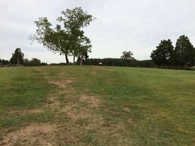
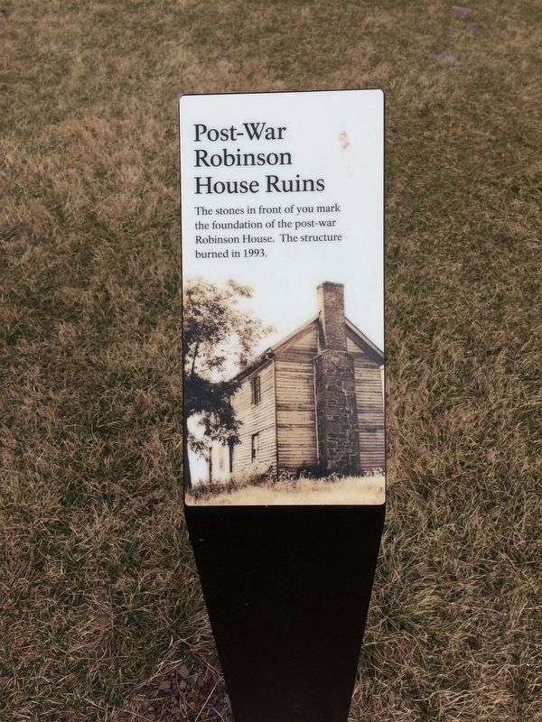
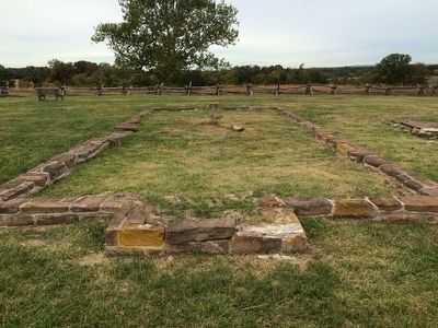
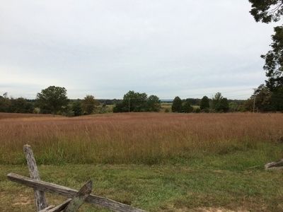
Location. 38° 49.118′ N, 77° 31.142′ W. Marker is near Manassas, Virginia, in Prince William County. Marker can be reached from Sudley Road, half a mile south of Lee Highway (U.S. 29), on the left when traveling south. Marker is located along the 1.1-mile Henry Hill trail, near the ruins of the Robinson House. Touch for map. Marker is at or near this postal address: 6511 Sudley Road, Manassas VA 20109, United States of America. Touch for directions.
Other nearby markers. At least 8 other markers are within walking distance of this marker. A different marker also named Robinson House (within shouting distance of this marker); Outnumbered (about 300 feet away, measured in a direct line); Outnumbered: The Stand in Robinson Lane (about 300 feet away); War-Time Henry Hill (about 300 feet away); Confederates Rally (about 700 feet away); a different marker also named Confederates Rally (about 700 feet away); James Robinson House (approx. 0.2 miles away); 7th Georgia Regiment (approx. 0.2 miles away). Touch for a list and map of all markers in Manassas.
Also see . . .
1. Manassas National Battlefield Park. National Park Service (Submitted on October 2, 2015.)
2. Old Marker at this Location. This marker replaced an older one at this location also titled “Robinson House” (Submitted on October 2, 2015.)
Credits. This page was last revised on May 10, 2023. It was originally submitted on October 2, 2015, by Shane Oliver of Richmond, Virginia. This page has been viewed 578 times since then and 35 times this year. Photos: 1, 2. submitted on October 2, 2015, by Shane Oliver of Richmond, Virginia. 3. submitted on February 18, 2017, by Shane Oliver of Richmond, Virginia. 4. submitted on February 19, 2017, by Shane Oliver of Richmond, Virginia. 5. submitted on April 29, 2023, by Bill Coughlin of Woodland Park, New Jersey. 6, 7. submitted on October 2, 2015, by Shane Oliver of Richmond, Virginia. 8. submitted on October 2, 2015, by Bernard Fisher of Richmond, Virginia. • Bernard Fisher was the editor who published this page.
